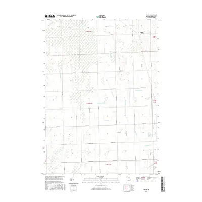
2017 Map of Palms
USGS Topo · Published 2017About this map
Palms serves as the primary settlement within this section of Sanilac County, situated at the intersection of Palms Rd and Minden Rd. The landscape is defined by an intricate network of agricultural drainage systems, including the Black River and numerous named watercourses such as Mcmanus Drain, Terpinning Drain, and Bishop Drain. This extensive engineering of the water table reflects a long-standing reliance on reclaimed marshland for productive farming.
Find a feature on this map
55 named features on this map. Tap any name to fly to it.
Don’t see what you’re looking for? This feature index may not catch every label — zoom into the map to look around manually.
Map Details
Editions of this 2017 Palms Map
This is the sole edition of this map. No revisions or reprints were ever made.
Other maps of this area

1954 · Flint
USGS Topo · 1:250,000

1958 · Flint
USGS Topo · 1:250,000

1963 · Snover
USGS Topo · 1:24,000

1963 · Ruth
USGS Topo · 1:24,000

1963 · Sandusky
USGS Topo · 1:24,000

1963 · Ubly
USGS Topo · 1:24,000

1963 · Minden City
USGS Topo · 1:24,000

1963 · Palms
USGS Topo · 1:24,000

1963 · Deckerville
USGS Topo · 1:24,000

1963 · Argyle
USGS Topo · 1:24,000