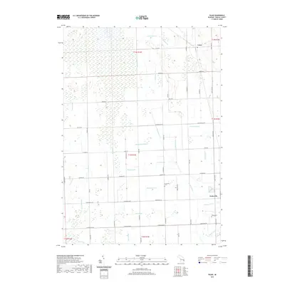
2019 Map of Palms
USGS Topo · Published 2019About this map
The village of Deckerville and the settlement of Palms anchor this Sanilac County landscape, illustrating a classic Midwestern agricultural and hydrological pattern. The area is defined by an extensive network of engineered waterways such as the Black River, Darlington Drain, and McManus Drain, which reflect the historical efforts to reclaim fertile Michigan farmland from natural wetlands. This drainage system dictates the placement of the grid-based road network, including regional thoroughfares like Range Line Rd and Shabbona Rd.
Find a feature on this map
60 named features on this map. Tap any name to fly to it.
Don’t see what you’re looking for? This feature index may not catch every label — zoom into the map to look around manually.
Map Details
Editions of this 2019 Palms Map
This is the sole edition of this map. No revisions or reprints were ever made.
Other maps of this area

1954 · Flint
USGS Topo · 1:250,000

1958 · Flint
USGS Topo · 1:250,000

1963 · Snover
USGS Topo · 1:24,000

1963 · Ruth
USGS Topo · 1:24,000

1963 · Sandusky
USGS Topo · 1:24,000

1963 · Ubly
USGS Topo · 1:24,000

1963 · Minden City
USGS Topo · 1:24,000

1963 · Palms
USGS Topo · 1:24,000

1963 · Deckerville
USGS Topo · 1:24,000

1963 · Argyle
USGS Topo · 1:24,000