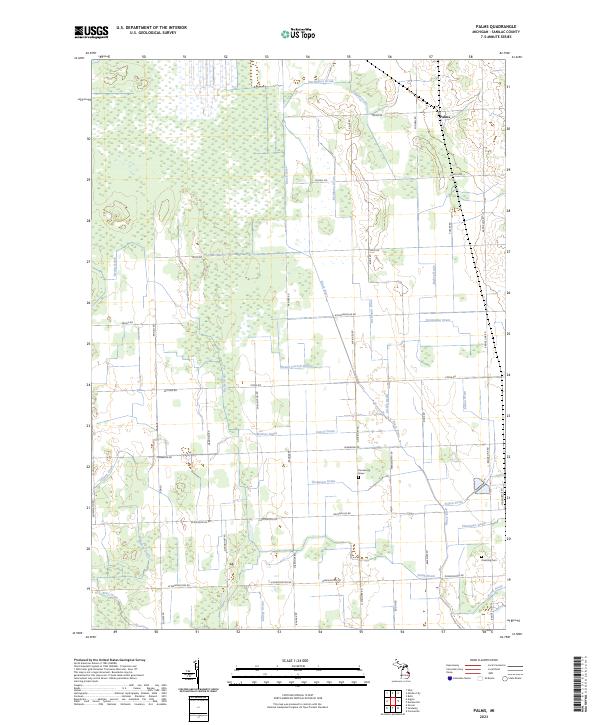
2023 Map of Palms
USGS Topo · Published 2023About this map
The settlement of Palms serves as the focal point for this agrarian section of Sanilac County, situated at the junction of Palms Rd and Minden Rd. The landscape is defined by an intricate network of drainage systems, including the Darlington Drain, Doggan Drain, and the Black River, reflecting the region's historical efforts to manage wetlands for agricultural productivity. These water management features, often following section lines, dictate the layout of local infrastructure and land use.
Find a feature on this map
61 named features on this map. Tap any name to fly to it.
Don’t see what you’re looking for? This feature index may not catch every label — zoom into the map to look around manually.
Map Details
Editions of this 2023 Palms Map
This is the sole edition of this map. No revisions or reprints were ever made.
Other maps of this area

1954 · Flint
USGS Topo · 1:250,000

1958 · Flint
USGS Topo · 1:250,000

1963 · Snover
USGS Topo · 1:24,000

1963 · Ruth
USGS Topo · 1:24,000

1963 · Sandusky
USGS Topo · 1:24,000

1963 · Ubly
USGS Topo · 1:24,000

1963 · Minden City
USGS Topo · 1:24,000

1963 · Palms
USGS Topo · 1:24,000

1963 · Deckerville
USGS Topo · 1:24,000

1963 · Argyle
USGS Topo · 1:24,000