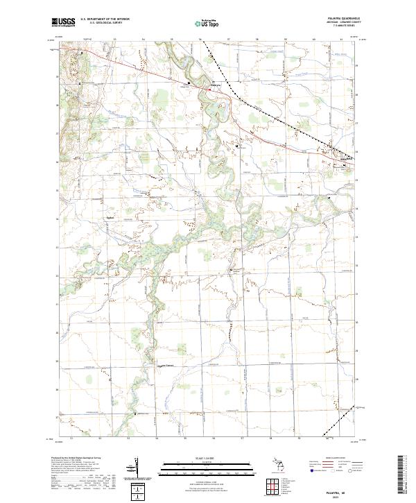
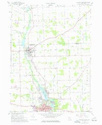
2023 Map of Palmyra
USGS Topo · Published 2023About this map
The River Raisin meanders through this portion of Lenawee County, serving as a primary geographic anchor for the settlements of Palmyra and Blissfield. This agricultural landscape is defined by an extensive network of drainage systems, including Big Meadow Drain, Colvin Drain, and Pease Drain, which reflect the historical engineering required to manage the low-lying terrain for farming.
Find a feature on this map
77 named features on this map. Tap any name to fly to it.
Don’t see what you’re looking for? This feature index may not catch every label — zoom into the map to look around manually.
Map Details
Editions of this 2023 Palmyra Map
This is the sole edition of this map. No revisions or reprints were ever made.
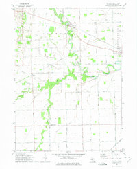
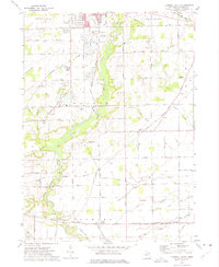
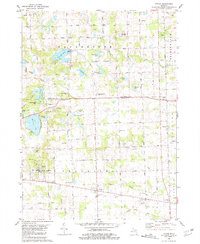
Historical Maps of Fairfield Township Through Time
14 maps found
1956 North Manitou
Lenawee County, MI

1956 South Fox Island
Lenawee County, MI
1962 Rome Center
Lenawee County, MI
1967 Macon
Lenawee County, MI
1967 Tecumseh North
Lenawee County, MI
1972 Palmyra
Lenawee County, MI
1972 Tecumseh South
Lenawee County, MI
1980 Tipton
Lenawee County, MI
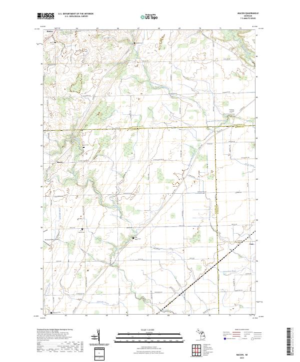
2023 Macon
Lenawee County, MI
2023 Palmyra
Lenawee County, MI
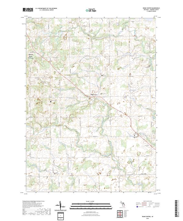
2023 Rome Center
Lenawee County, MI
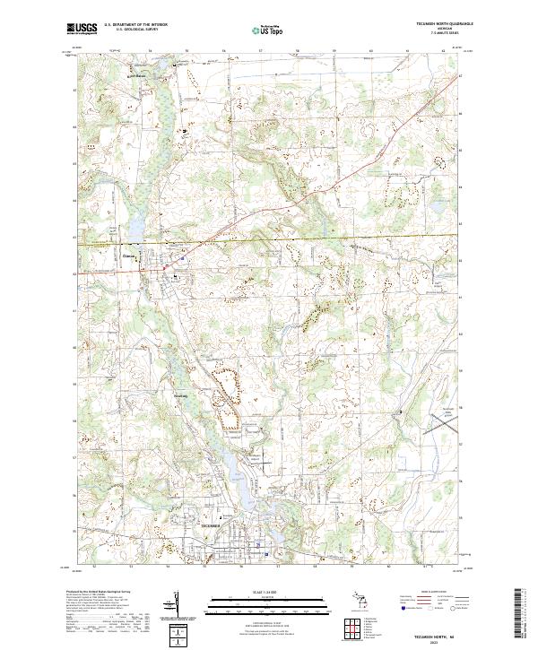
2023 Tecumseh North
Lenawee County, MI
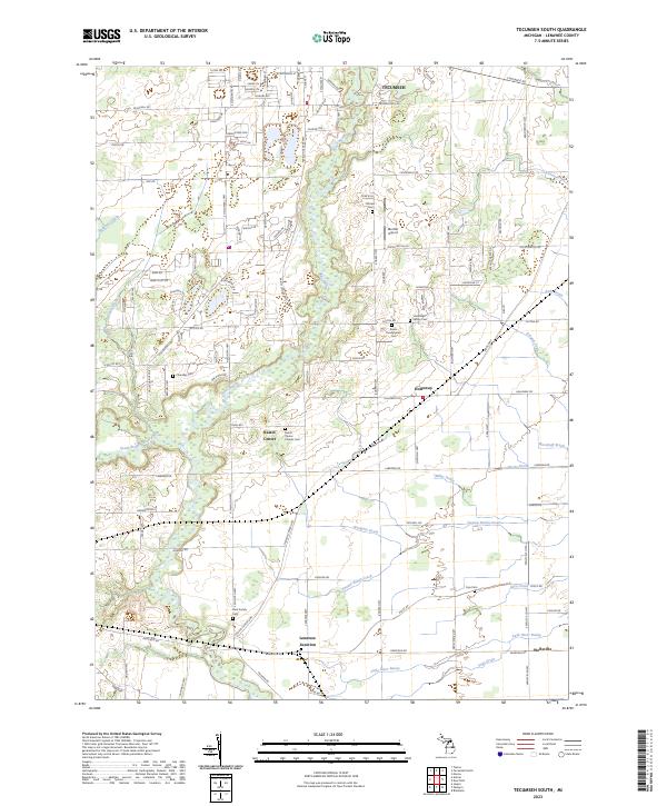
2023 Tecumseh South
Lenawee County, MI
2023 Tipton
Lenawee County, MI
Featured Locations
- Fairfield Township, MI
- Palmyra Township, MI
- Blissfield, Blissfield Township
- Ogden, Palmyra Township
- Palmyra, Palmyra Township