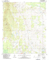
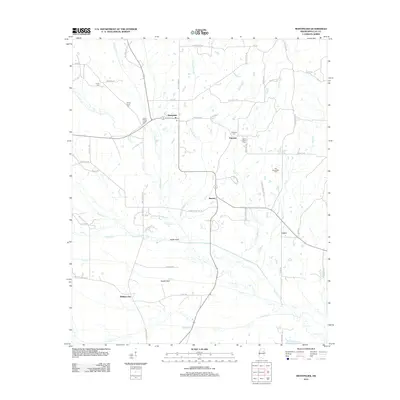
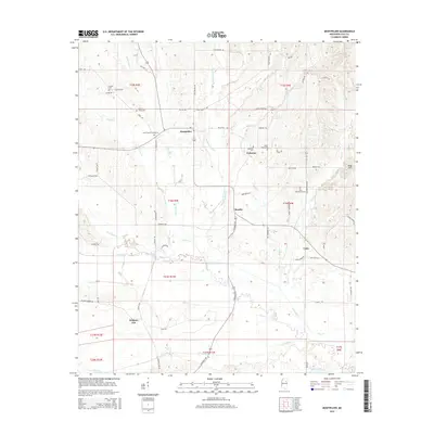
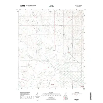
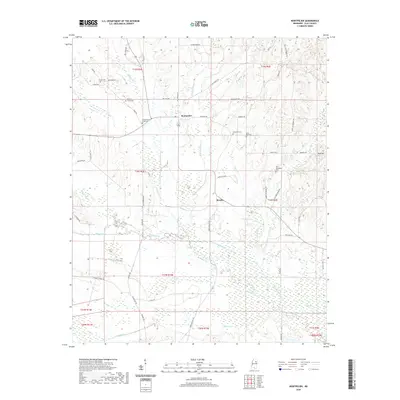
1987 Map of Palo Alto
USGS Topo · Published 1987About this map
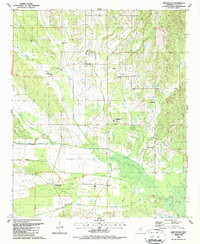
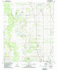
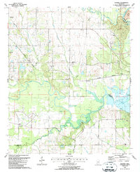
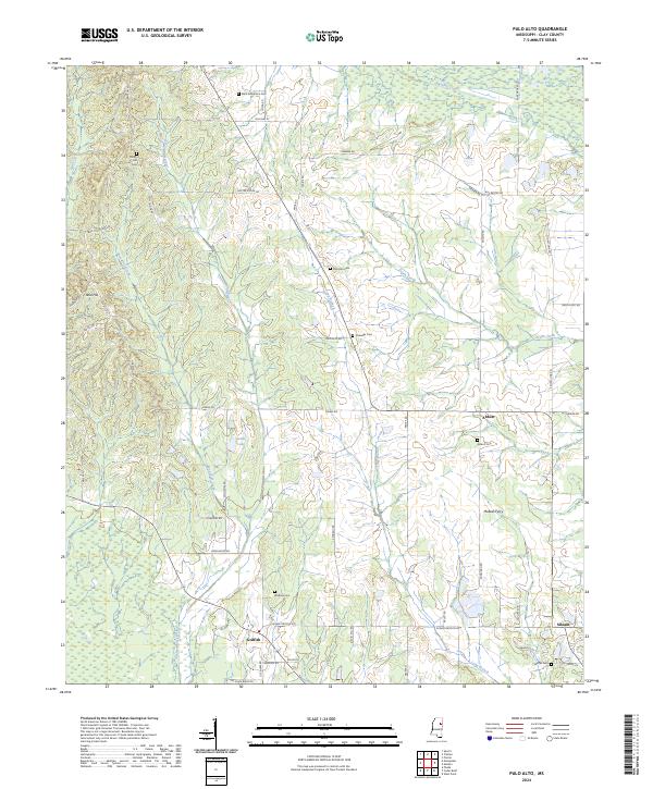
Palo Alto and Abbott anchor this rural Mississippi landscape in the late 1980s, reflecting a settled pattern of agricultural life defined by numerous small communities and family landmarks. The terrain is characterized by the confluence of several waterways, including the winding Houlka Creek and the notably named Death Creek. For genealogists and local historians, the abundance of small, named cemeteries and churches provides significant information-gain, with sites like Palo Alto Cem, Watkins Cem, and St Robertson Ch scattered across the countryside.
Find a feature on this map
37 named features on this map. Tap any name to fly to it.
Don’t see what you’re looking for? This feature index may not catch every label — zoom into the map to look around manually.
Map Details
Editions of this 1987 Palo Alto Map
This is the sole edition of this map. No revisions or reprints were ever made.
Historical Maps of Siloam Through Time
24 maps found
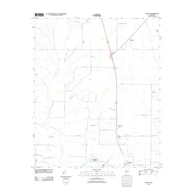
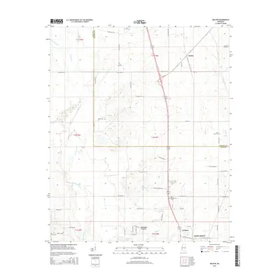
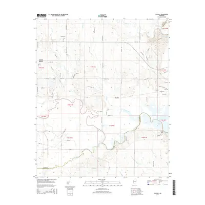
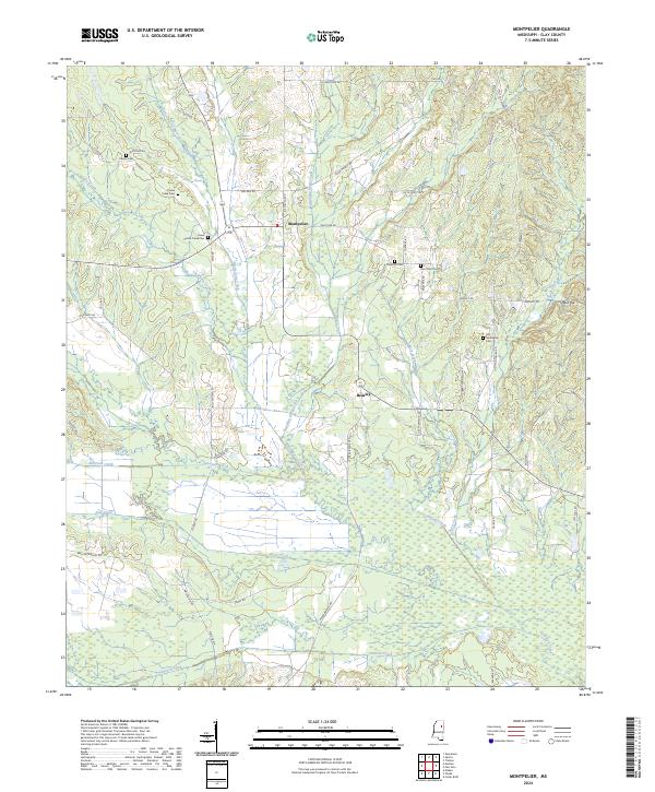
1987 Montpelier
Clay County, MS
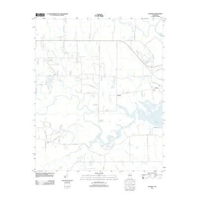
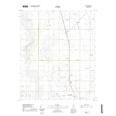
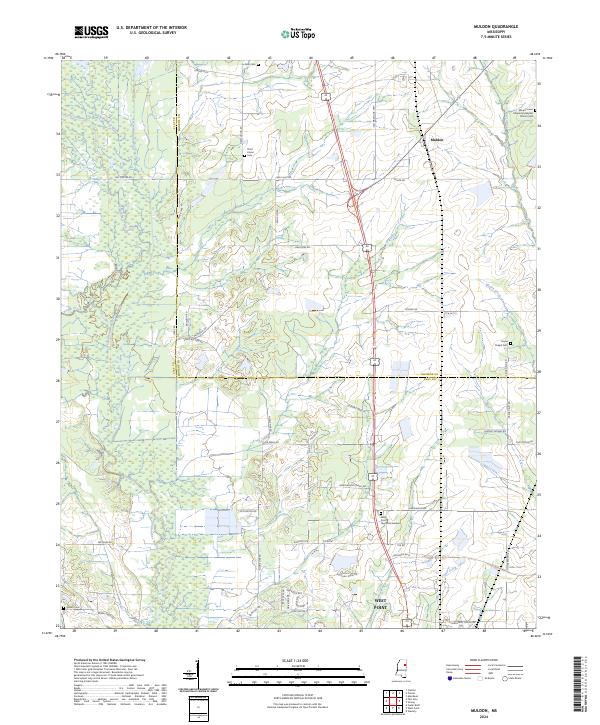
1987 Muldon
Clay County, MS
1987 Palo Alto
Clay County, MS
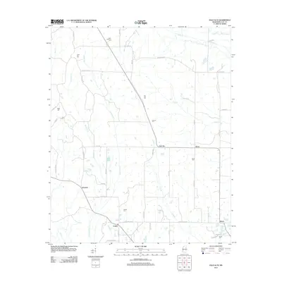
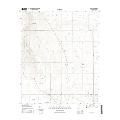
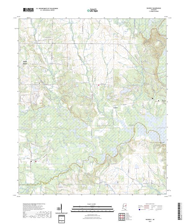
1987 Waverly
Clay County, MS
2012 Montpelier
Clay County, MS
2012 Muldon
Clay County, MS
2012 Palo Alto
Clay County, MS
2012 Waverly
Clay County, MS
2015 Montpelier
Clay County, MS
2015 Muldon
Clay County, MS
2015 Palo Alto
Clay County, MS
2015 Waverly
Clay County, MS
2018 Montpelier
Clay County, MS
2018 Muldon
Clay County, MS
2018 Palo Alto
Clay County, MS
2018 Waverly
Clay County, MS
2020 Montpelier
Clay County, MS
2020 Muldon
Clay County, MS

2020 Palo Alto
Clay County, MS
2020 Waverly
Clay County, MS
2024 Montpelier
Clay County, MS
2024 Muldon
Clay County, MS
2024 Palo Alto
Clay County, MS
2024 Waverly
Clay County, MS