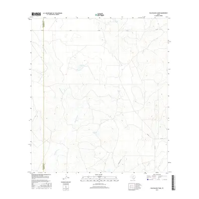
2016 Map of Palo Blanco Tank
USGS Topo · Published 2016About this map
The dry brushlands and arroyos of the South Texas plains define this landscape along the border of Maverick and Dimmit counties. Water management is the central theme of this 2016 survey, where life revolves around several man-made and natural catchments including the namesake Palo Blanco Tank, English Tank, and Hamilton Lake. These features, vital for ranching and local wildlife, dot a terrain marked by seasonal watercourses such as Rosita San Juan Creek, Peña Creek, and Botello Creek. Transportation through this isolated area is facilitated by FM 2644 and Hamilton Ranch Lane, reflecting the region's sparse settlement and continued reliance on large-scale ranching operations. The presence of Farias Lake in the north further illustrates the importance of water storage in this arid environment.
Find a feature on this map
13 named features on this map. Tap any name to fly to it.
Don’t see what you’re looking for? This feature index may not catch every label — zoom into the map to look around manually.
Map Details
Editions of this 2016 Palo Blanco Tank Map
This is the sole edition of this map. No revisions or reprints were ever made.
Other maps of this area

1929 · Cotulla
USGS Topo · 1:125,000

1939 · Carrizo Springs
USGS Topo · 1:62,500

1940 · Asherton
USGS Topo · 1:62,500

1940 · Cometa
USGS Topo · 1:62,500

1941 · Botella Creek
USGS Topo · 1:62,500

1953 · Crystal City
USGS Topo · 1:250,000

1955 · Crystal City
USGS Topo · 1:250,000

1957 · Botella Creek
USGS Topo · 1:62,500

1958 · Eagle Pass
USGS Topo · 1:250,000

1961 · Crystal City
USGS Topo · 1:250,000