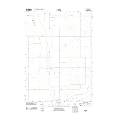
2011 Map of Palo
USGS Topo · Published 2011About this map
Palo and Muir anchor this agricultural landscape in the early 21st century, where the meandering course of Prairie Creek bisects the terrain from north to south. The map documents a well-defined grid of rural roads, including E Bricker RD and Vickeryville RD, which connect small farmsteads and historic family burial grounds. Notable for genealogists are the numerous cemeteries scattered across the countryside, such as North Plains Cemetery and Dalton Cemetery, indicating the deep roots of the local community. To the south, the Maple River flows near Muir, joined by the waters of Stony Creek, forming a natural boundary for this part of Lyons Township. The relationship between the waterways and the road network reveals a landscape where modern thoroughfares like Hayes RD and Charles RD continue to follow historical land divisions.
Find a feature on this map
49 named features on this map. Tap any name to fly to it.
Don’t see what you’re looking for? This feature index may not catch every label — zoom into the map to look around manually.
Map Details
Editions of this 2011 Palo Map
This is the sole edition of this map. No revisions or reprints were ever made.
Other maps of this area

1916 · Ionia
USGS Topo · 1:62,500

1918 · Ionia
USGS Topo · 1:62,500

1943 · Ionia
USGS Topo · 1:62,500

1945 · Portland
USGS Topo · 1:62,500

1954 · Midland
USGS Topo · 1:250,000

1958 · Midland
USGS Topo · 1:250,000

1958 · Grand Rapids
USGS Topo · 1:250,000

1959 · Midland
USGS Topo · 1:250,000

1961 · Grand Rapids
USGS Topo · 1:250,000

1962 · Grand Rapids
USGS Topo · 1:250,000