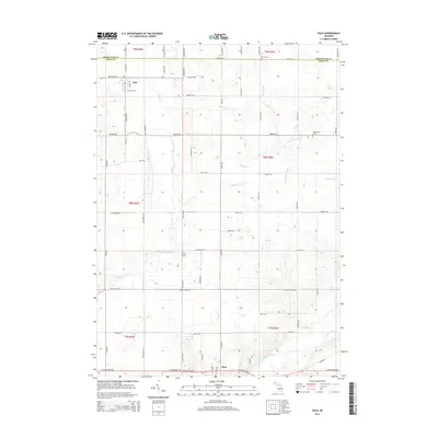
2014 Map of Palo
USGS Topo · Published 2014About this map
The Maple River flows through the southern portion of this region, defining the landscape near the settlement of Muir. This area of Ionia County is characterized by a dense network of local agricultural drainage and small waterways, including Prairie Creek, Stoughton Cr, and the uniquely named Hack and Keary Drain. The map reveals a deeply rooted rural community, marked by several historic burying grounds such as Woodward Cem and N Plains Cem.
Find a feature on this map
62 named features on this map. Tap any name to fly to it.
Don’t see what you’re looking for? This feature index may not catch every label — zoom into the map to look around manually.
Map Details
Editions of this 2014 Palo Map
This is the sole edition of this map. No revisions or reprints were ever made.
Other maps of this area
1916 · Ionia
USGS Topo · 1:62,500
1918 · Ionia
USGS Topo · 1:62,500
1943 · Ionia
USGS Topo · 1:62,500
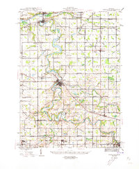
1945 · Portland
USGS Topo · 1:62,500

1954 · Midland
USGS Topo · 1:250,000

1958 · Midland
USGS Topo · 1:250,000

1958 · Grand Rapids
USGS Topo · 1:250,000

1959 · Midland
USGS Topo · 1:250,000

1961 · Grand Rapids
USGS Topo · 1:250,000
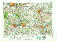
1962 · Grand Rapids
USGS Topo · 1:250,000