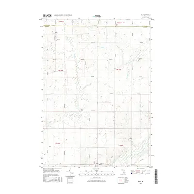
2017 Map of Palo
USGS Topo · Published 2017About this map
The Maple River valley anchors the southern edge of this landscape, where the settlement of Muir sits just above the floodplain. This area of Ionia County is defined by an intricate network of agricultural drainage systems, including the Hack and Keary Drain and Bonnie Moor Drain, which feed into larger arteries like Prairie Creek. The village of Palo serves as the northern hub, surrounded by a grid of rural roads such as Vickeryville Rd and Olmstead Rd that divide the fertile tillable land. Genealogists will find several well-preserved burial grounds throughout the townships, from the Muir Cem near the river to the more remote North Plains Cem and Woodward Cem, each providing a physical link to the families who established these farming communities.
Find a feature on this map
64 named features on this map. Tap any name to fly to it.
Don’t see what you’re looking for? This feature index may not catch every label — zoom into the map to look around manually.
Map Details
Editions of this 2017 Palo Map
This is the sole edition of this map. No revisions or reprints were ever made.
Other maps of this area

1916 · Ionia
USGS Topo · 1:62,500

1918 · Ionia
USGS Topo · 1:62,500

1943 · Ionia
USGS Topo · 1:62,500

1945 · Portland
USGS Topo · 1:62,500

1954 · Midland
USGS Topo · 1:250,000

1958 · Midland
USGS Topo · 1:250,000

1958 · Grand Rapids
USGS Topo · 1:250,000

1959 · Midland
USGS Topo · 1:250,000

1961 · Grand Rapids
USGS Topo · 1:250,000

1962 · Grand Rapids
USGS Topo · 1:250,000