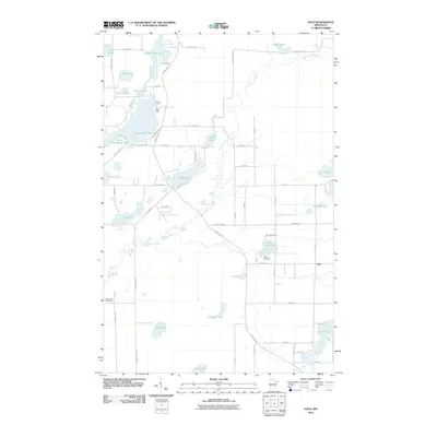
2010 Map of Palo
USGS Topo · Published 2010About this map
Palo serves as the primary settlement on this Saint Louis County landscape, situated where the meandering Saint Louis River cuts through a dense network of glacial lakes and wetlands. The geography is defined by a heavy concentration of water bodies, including the irregular shores of Esquagama Lake, Cedar Island Lake, and Kahtava Lake, which have long drawn seasonal residents and recreational groups. The map reveals a community structured around its natural resources and social hubs, evidenced by Camp Sigel, Four H Camp, and the Saint Louis River Hall. Local heritage is anchored at the Rauha Cemetery, located near the junction of Palo Road 41 and Lane 57. A web of township and county roads, such as the historic Vermilion Trl, provides access to more isolated water features like Lost Lake and Tikander Lake, illustrating how the region's development remains tethered to its aquatic environment.
Find a feature on this map
65 named features on this map. Tap any name to fly to it.
Don’t see what you’re looking for? This feature index may not catch every label — zoom into the map to look around manually.
Map Details
Editions of this 2010 Palo Map
This is the sole edition of this map. No revisions or reprints were ever made.
Other maps of this area

1949 · Aurora
USGS Topo · 1:24,000

1950 · Aurora
USGS Topo · 1:24,000

1950 · Biwabik
USGS Topo · 1:24,000

1950 · Mc Kinley
USGS Topo · 1:24,000

1951 · Biwabik
USGS Topo · 1:24,000

1951 · Mc Kinley
USGS Topo · 1:24,000

1951 · Palo
USGS Topo · 1:24,000

1951 · Gilbert
USGS Topo · 1:24,000

1951 · Central Lakes
USGS Topo · 1:24,000

1951 · Makinen
USGS Topo · 1:24,000