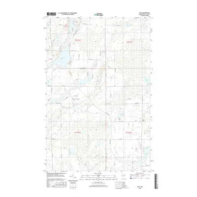
2016 Map of Palo
USGS Topo · Published 2016About this map
The settlement of Palo and its surrounding wetlands define this portion of the Iron Range region, where the Saint Louis River snakes through a landscape dominated by glacial lakes and marshes. The area’s spiritual and local history is anchored by the Rauha Cem, located south of Frying Pan Lake. The topography is notably flat, punctuated by numerous water bodies such as Esquagama Lake, Lost Lake, and Cedar Island Lake.
Find a feature on this map
88 named features on this map. Tap any name to fly to it.
Don’t see what you’re looking for? This feature index may not catch every label — zoom into the map to look around manually.
Map Details
Editions of this 2016 Palo Map
This is the sole edition of this map. No revisions or reprints were ever made.
Other maps of this area

1949 · Aurora
USGS Topo · 1:24,000

1950 · Aurora
USGS Topo · 1:24,000

1950 · Biwabik
USGS Topo · 1:24,000

1950 · Mc Kinley
USGS Topo · 1:24,000

1951 · Biwabik
USGS Topo · 1:24,000

1951 · Mc Kinley
USGS Topo · 1:24,000

1951 · Palo
USGS Topo · 1:24,000

1951 · Gilbert
USGS Topo · 1:24,000

1951 · Central Lakes
USGS Topo · 1:24,000

1951 · Makinen
USGS Topo · 1:24,000