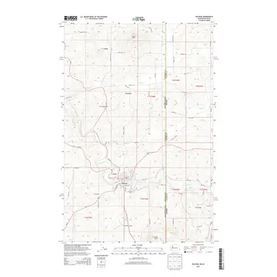
2013 Map of Palouse
USGS Topo · Published 2013About this map
The Palouse River winds through the heart of this landscape, anchoring the settlement of Palouse where historic streets like E Alder St and W Main St meet the water. This region of the Inland Northwest is defined by its distinctive loess hills, represented by prominent landmarks such as Ladow Butte, Ringo Butte, and Horn. The map documents a cluster of smaller communities and named locales including Lairds, Grinnell, and Ladow, which are connected by a network of rural roads like Grinnell Rd and Kriebel Rd.
Find a feature on this map
61 named features on this map. Tap any name to fly to it.
Don’t see what you’re looking for? This feature index may not catch every label — zoom into the map to look around manually.
Map Details
Editions of this 2013 Palouse Map
This is the sole edition of this map. No revisions or reprints were ever made.
Other maps of this area

1903 · Oakesdale
USGS Topo · 1:125,000

1905 · Oakesdale
USGS Topo · 1:125,000

1910 · Pullman
USGS Topo · 1:125,000

1955 · Pullman
USGS Topo · 1:250,000

1955 · Spokane
USGS Topo · 1:250,000

1957 · Tensed
USGS Topo · 1:62,500

1958 · Spokane
USGS Topo · 1:250,000

1958 · Pullman
USGS Topo · 1:250,000

1960 · Robinson Lake
USGS Topo · 1:24,000

1960 · Potlatch
USGS Topo · 1:62,500