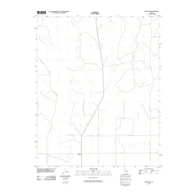
2010 Map of Pampa NW
USGS Topo · Published 2010About this map
Wayside sits at the intersection of FM 282 in Roberts County, serving as a primary point of reference in this Texas Panhandle landscape. The terrain is defined by the drainage patterns of several seasonal watercourses, including the southward-reaching Tallahone Creek and the winding Chicken Creek to the northeast. These drainage systems carve subtle relief into the High Plains, influencing the layout of the rural transportation network.
Find a feature on this map
14 named features on this map. Tap any name to fly to it.
Don’t see what you’re looking for? This feature index may not catch every label — zoom into the map to look around manually.
Map Details
Editions of this 2010 Pampa NW Map
This is the sole edition of this map. No revisions or reprints were ever made.
Other maps of this area

1954 · Amarillo
USGS Topo · 1:250,000

1958 · Amarillo
USGS Topo · 1:250,000

1963 · Pampa
USGS Topo · 1:24,000

1965 · Lake Mc Connell
USGS Topo · 1:24,000

1967 · Hoover
USGS Topo · 1:24,000

1971 · Dry Creek South
USGS Topo · 1:24,000

1971 · Dry Creek SE
USGS Topo · 1:24,000

1971 · Skellytown NE
USGS Topo · 1:24,000

1971 · Pampa NW
USGS Topo · 1:24,000

1971 · Adobe Creek SE
USGS Topo · 1:24,000