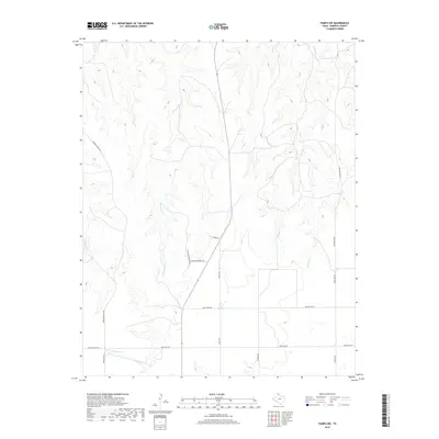
2019 Map of Pampa NW
USGS Topo · Published 2019About this map
Tallahone Cr and Chicken Cr carve deep, branching drainage patterns across this High Plains landscape in Roberts County. The terrain is defined by these seasonal waterways that feed toward the Canadian River valley, creating a rugged topography of breaks and draws that challenge the otherwise linear grid of Texas ranch lands. The human imprint on the land is represented primarily by a network of ranch access and utility roads, including the historically evocative Mail Route Rd and the centrally positioned Winter Quarters Rd. These routes, along with Morrison Ranch Rd, follow the natural contours of the ridges or cut straight across the plateau, illustrating the logistical adaptations of modern cattle ranching and land management in the Panhandle's canyon-cut prairies.
Find a feature on this map
15 named features on this map. Tap any name to fly to it.
Don’t see what you’re looking for? This feature index may not catch every label — zoom into the map to look around manually.
Map Details
Editions of this 2019 Pampa NW Map
This is the sole edition of this map. No revisions or reprints were ever made.
Other maps of this area

1954 · Amarillo
USGS Topo · 1:250,000

1958 · Amarillo
USGS Topo · 1:250,000

1963 · Pampa
USGS Topo · 1:24,000

1965 · Lake Mc Connell
USGS Topo · 1:24,000

1967 · Hoover
USGS Topo · 1:24,000

1971 · Dry Creek South
USGS Topo · 1:24,000

1971 · Dry Creek SE
USGS Topo · 1:24,000

1971 · Skellytown NE
USGS Topo · 1:24,000

1971 · Pampa NW
USGS Topo · 1:24,000

1971 · Adobe Creek SE
USGS Topo · 1:24,000