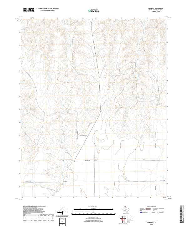
2022 Map of Pampa NW
USGS Topo · Published 2022About this map
Tallahone Cr and Chicken Cr carve deep drainage patterns through the plateau country of Roberts County, revealing a landscape defined by ranching access and watercourses. This contemporary survey of the panhandle interior illustrates the modern road network supporting this cattle country, centered around historically significant corridors like Mail Route Rd and Ranch Rd 282. The presence of several named family routes, including Morrison Ranch Rd, N Price Ranch Rd, and Rogers Rd, highlights the private landholdings and genealogical markers typical of this region. Local waypoints like Winter Quarters Rd and Condo Rd provide specific detail for those tracing rural property boundaries and ranch-to-market access points north of Pampa.
Find a feature on this map
15 named features on this map. Tap any name to fly to it.
Don’t see what you’re looking for? This feature index may not catch every label — zoom into the map to look around manually.
Map Details
Editions of this 2022 Pampa NW Map
This is the sole edition of this map. No revisions or reprints were ever made.
Other maps of this area

1954 · Amarillo
USGS Topo · 1:250,000

1958 · Amarillo
USGS Topo · 1:250,000

1963 · Pampa
USGS Topo · 1:24,000

1965 · Lake Mc Connell
USGS Topo · 1:24,000

1967 · Hoover
USGS Topo · 1:24,000

1971 · Dry Creek South
USGS Topo · 1:24,000

1971 · Dry Creek SE
USGS Topo · 1:24,000

1971 · Skellytown NE
USGS Topo · 1:24,000

1971 · Pampa NW
USGS Topo · 1:24,000

1971 · Adobe Creek SE
USGS Topo · 1:24,000