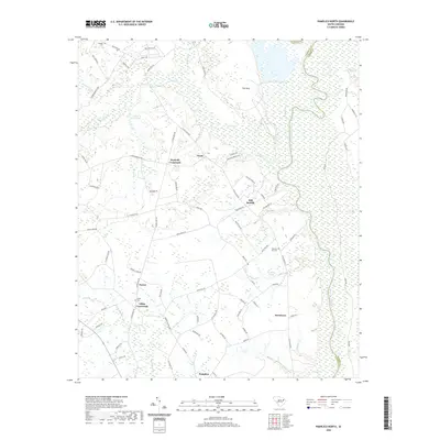
2020 Map of Pamplico North
USGS Topo · Published 2020About this map
Pamplico stands at the southern edge of this landscape, where the coastal plain of South Carolina meets the complex hydrology of the Great Pee Dee River valley. The terrain is defined by a series of distinct bays and swamp systems, including the large Horse Bay and the drainage of Jeffries Creek. This 2020 survey reveals a rural settlement pattern anchored by historic junctions such as Kennedy Crossroads and Gibbs Crossroads, which reflect long-standing family and community hubs in Florence County. The eastern boundary is dominated by the meandering river and its associated lowlands, including Beverly Swamp and Pitch Pot Swamp. Genealogists may find value in the placement of small community burial grounds like Gibbs Cem and Pleasant Hill Cem, while the network of named roads like Old River Rd and Grant Rd traces the historical movement of goods and people through this timber and agricultural region.
Find a feature on this map
90 named features on this map. Tap any name to fly to it.
Don’t see what you’re looking for? This feature index may not catch every label — zoom into the map to look around manually.
Map Details
Editions of this 2020 Pamplico North Map
This is the sole edition of this map. No revisions or reprints were ever made.
Other maps of this area

1940 · Florence East
USGS Topo · 1:62,500

1945 · Florence East
USGS Topo · 1:62,500

1946 · Hyman
USGS Topo · 1:62,500

1946 · Johnsonville
USGS Topo · 1:62,500

1947 · Friendship
USGS Topo · 1:24,000

1947 · Marion
USGS Topo · 1:24,000

1949 · Georgetown
USGS Topo · 1:250,000

1953 · Florence
USGS Topo · 1:250,000

1954 · Florence
USGS Topo · 1:250,000

1967 · Georgetown
USGS Topo · 1:250,000