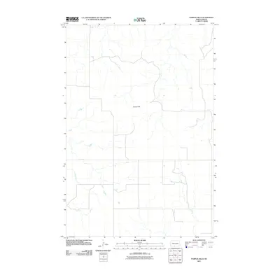
2011 Map of Pamplin Hills
USGS Topo · Published 2011About this map
Pamplin Hills rises as a prominent geographic landmark within this 2011 topographic survey of Sioux County. This landscape, located in the Porcupine District, is characterized by a network of drainage systems and intermittent watercourses, most notably the winding path of Oak Creek. The map reflects a predominantly open prairie environment, where the sparse infrastructure of local and state roads indicates a quiet, agricultural character typical of the Great Plains. The U.S. Geological Survey has meticulously detailed the terrain elevations and hydrological features, providing a precise record of the regional topography before further modern development or environmental shifts. This specific quadrangle offers a clear view of the natural relief and rural road patterns that define the local North Dakota landscape.
Find a feature on this map
2 named features on this map. Tap any name to fly to it.
Don’t see what you’re looking for? This feature index may not catch every label — zoom into the map to look around manually.
Map Details
Editions of this 2011 Pamplin Hills Map
This is the sole edition of this map. No revisions or reprints were ever made.
Other maps of this area

1953 · McIntosh
USGS Topo · 1:250,000

1954 · Bismarck
USGS Topo · 1:250,000

1958 · Bismarck
USGS Topo · 1:250,000

1958 · McIntosh
USGS Topo · 1:250,000

1971 · Shields SW
USGS Topo · 1:24,000

1971 · Froelich Dam
USGS Topo · 1:24,000

1971 · Shields
USGS Topo · 1:24,000

1971 · Porcupine
USGS Topo · 1:24,000

1971 · Selfridge
USGS Topo · 1:24,000

1971 · Pamplin Hills
USGS Topo · 1:24,000