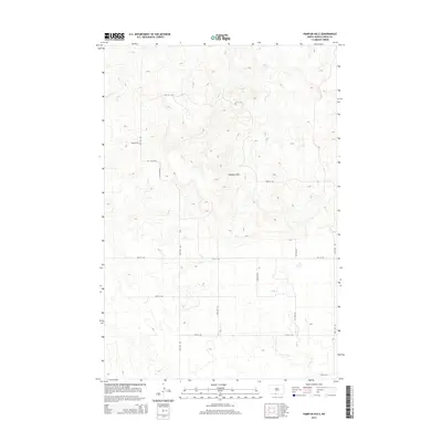
2014 Map of Pamplin Hills
USGS Topo · Published 2014About this map
The Pamplin Hills define the upper landscape of this Sioux County quadrangle, where the high ground transitions into the drainages of the south. This 2014 topographic study by the U.S. Geological Survey shows a starkly rural landscape within the Porcupine District, characterized by a vast network of section-line roads such as 95th St SW and 33rd Ave SW. The topography reveals the intricate drainage patterns of the region, most notably around Oak Cr which meanders through the lower elevations.
Find a feature on this map
17 named features on this map. Tap any name to fly to it.
Don’t see what you’re looking for? This feature index may not catch every label — zoom into the map to look around manually.
Map Details
Editions of this 2014 Pamplin Hills Map
This is the sole edition of this map. No revisions or reprints were ever made.
Other maps of this area

1953 · McIntosh
USGS Topo · 1:250,000

1954 · Bismarck
USGS Topo · 1:250,000

1958 · Bismarck
USGS Topo · 1:250,000

1958 · McIntosh
USGS Topo · 1:250,000

1971 · Shields SW
USGS Topo · 1:24,000

1971 · Froelich Dam
USGS Topo · 1:24,000

1971 · Shields
USGS Topo · 1:24,000

1971 · Porcupine
USGS Topo · 1:24,000

1971 · Selfridge
USGS Topo · 1:24,000

1971 · Pamplin Hills
USGS Topo · 1:24,000