
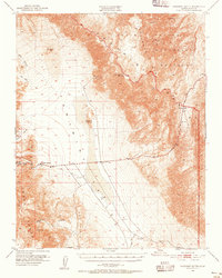
1951 Map of Panamint Butte
USGS Topo · Published 1952About this map
Panamint Springs serves as a lone outpost in this 1951 survey of the high desert, positioned where the Argus Range meets the expansive floor of the Panamint Valley. The landscape is defined by its transit history and mining legacy, featuring the Old Toll Road, the Eichbaum Toll Road, and the historic Nadeau Trail cutting through the arid terrain. These routes highlight the early infrastructure required to reach remote operations like the Big Four Mine near Panamint Butte and the Surprise Mine located in the southern Osborne Canyon.
Find a feature on this map
24 named features on this map. Tap any name to fly to it.
Don’t see what you’re looking for? This feature index may not catch every label — zoom into the map to look around manually.
Map Details
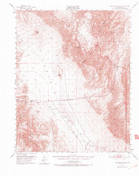
Editions of this 1951 Panamint Butte Map
3 editions found
Other maps of this area

1908 · Ballarat
USGS Topo · 1:250,000

1913 · Ballarat
USGS Topo · 1:250,000

1948 · Death Valley
USGS Topo · 1:250,000

1950 · Darwin
USGS Topo · 1:62,500

1950 · Ubehebe Peak
USGS Topo · 1:62,500

1951 · Darwin
USGS Topo · 1:62,500

1951 · Ubehebe Peak
USGS Topo · 1:62,500

1951 · Maturango Peak
USGS Topo · 1:62,500

1951 · Marble Canyon
USGS Topo · 1:62,500

1951 · Coso Peak
USGS Topo · 1:62,500