
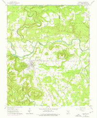
1962 Map of Pangburn
USGS Topo · Published 1964About this map
The Little Red River cuts a winding path through this portion of White and Cleburne Counties, anchoring a landscape defined by small rural settlements and river-bottom agriculture. Pangburn serves as the primary community, situated near an Old Railroad Grade that speaks to the area's former transit corridors. The topography is varied, rising from the river valley to prominent heights like Bruce Mountain and Mount Zion. Local genealogy is well-preserved through numerous family and community landmarks, including Barnett Cem, Faulkner Cem, and the Henderson Cem. These small cemeteries, alongside rural congregations like Full Gospel Ch and Pine View Ch, illustrate the tight-knit settlement patterns of the early 1960s. The presence of Gravel Pits and a Shale Pit near Dewey point toward localized mineral extraction that supported the region's road and infrastructure development during this era.
Find a feature on this map
34 named features on this map. Tap any name to fly to it.
Don’t see what you’re looking for? This feature index may not catch every label — zoom into the map to look around manually.
Map Details
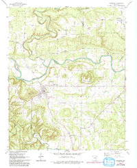
Editions of this 1962 Pangburn Map
3 editions found
Other maps of this area

1890 · Batesville
USGS Topo · 1:125,000

1891 · Batesville
USGS Topo · 1:125,000

1935 · Bald Knob
USGS Topo · 1:62,500

1953 · Memphis
USGS Topo · 1:250,000

1956 · Memphis
USGS Topo · 1:250,000

1962 · Letona
USGS Topo · 1:24,000

1963 · West Pangburn
USGS Topo · 1:24,000

1963 · Sidon
USGS Topo · 1:24,000

1965 · Pleasant Plains
USGS Topo · 1:24,000
1965 · Judsonia
USGS Topo · 1:24,000