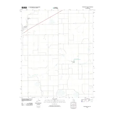
2010 Map of Panhandle East
USGS Topo · Published 2010About this map
Panhandle serves as the primary hub in this portion of Carson County, situated at the edge of an expansive agricultural and ranching landscape. The town is flanked by the Panhandle- Carson County Airport, reflecting the region's reliance on aviation for commerce and connectivity across the High Plains. The terrain is defined by the winding course of McClellan Creek, which cuts through the grid of county roads. Water management is a critical feature of this environment, evidenced by the Soil Conservation Service Site 1 Dam and the associated Soil Conservation Service Site 1 Reservoir. This 2010 survey illustrates a strictly organized rural infrastructure where state and county roads, such as FM 293 and Co RD 13, provide the framework for large-scale land use and water conservation efforts in the Texas Panhandle.
Find a feature on this map
13 named features on this map. Tap any name to fly to it.
Don’t see what you’re looking for? This feature index may not catch every label — zoom into the map to look around manually.
Map Details
Editions of this 2010 Panhandle East Map
This is the sole edition of this map. No revisions or reprints were ever made.
Other maps of this area

1954 · Amarillo
USGS Topo · 1:250,000

1958 · Amarillo
USGS Topo · 1:250,000

1960 · Claude
USGS Topo · 1:62,500

1960 · Groom
USGS Topo · 1:62,500

1965 · White Deer
USGS Topo · 1:24,000

1965 · Abell
USGS Topo · 1:24,000

1966 · Panhandle West
USGS Topo · 1:24,000

1966 · Panhandle East
USGS Topo · 1:24,000

1966 · Cuyler
USGS Topo · 1:24,000

1966 · White Deer SW
USGS Topo · 1:24,000