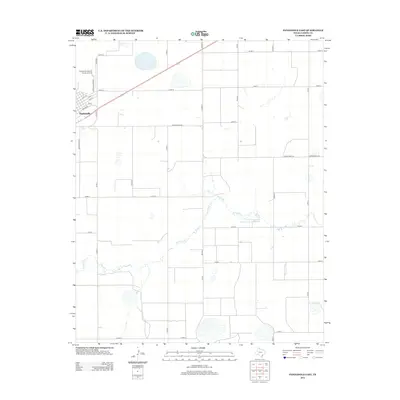
2012 Map of Panhandle East
USGS Topo · Published 2012About this map
Panhandle serves as the focal point of this Carson County landscape, situated on the high plains where the grid-based road system meets the diagonal path of the regional thoroughfares. The town's layout is defined by streets such as Broadway and Washington St, supporting a community anchored by the Panhandle-Carson County Airport to the north. Beyond the residential and commercial center, the terrain is shaped by the intermittent drainage of McClellan Cr, which meanders eastward toward the Soil Conservation Service Site 1 Reservoir. This 2012 survey illustrates a landscape dominated by agricultural division, with a meticulous network of county roads like Co Rd 12 and Co Rd O facilitating movement across the vast, open spaces of the Texas Panhandle.
Find a feature on this map
27 named features on this map. Tap any name to fly to it.
Don’t see what you’re looking for? This feature index may not catch every label — zoom into the map to look around manually.
Map Details
Editions of this 2012 Panhandle East Map
This is the sole edition of this map. No revisions or reprints were ever made.
Other maps of this area

1954 · Amarillo
USGS Topo · 1:250,000

1958 · Amarillo
USGS Topo · 1:250,000

1960 · Claude
USGS Topo · 1:62,500

1960 · Groom
USGS Topo · 1:62,500

1965 · White Deer
USGS Topo · 1:24,000

1965 · Abell
USGS Topo · 1:24,000

1966 · Panhandle West
USGS Topo · 1:24,000

1966 · Panhandle East
USGS Topo · 1:24,000

1966 · Cuyler
USGS Topo · 1:24,000

1966 · White Deer SW
USGS Topo · 1:24,000