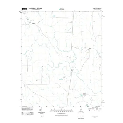
2011 Map of Panola
USGS Topo · Published 2011About this map
The Noxubee River winds through the borderlands of Noxubee County, Mississippi, and Pickens County, Alabama, defining a landscape of agricultural tradition and slow-moving water. This 2011 survey captures the rural character of the region, where the river creates distinctive features like Noxubee Island and feeds into local landmarks such as Campbells Lake. Small settlements like Cooksville and Panola anchor the area, connected by a network of country roads like Binnsville Rd and Mt Tabor Rd.
Find a feature on this map
44 named features on this map. Tap any name to fly to it.
Don’t see what you’re looking for? This feature index may not catch every label — zoom into the map to look around manually.
Map Details
Editions of this 2011 Panola Map
This is the sole edition of this map. No revisions or reprints were ever made.
Other maps of this area

1953 · Meridian
USGS Topo · 1:250,000

1953 · West Point
USGS Topo · 1:250,000

1957 · Meridian
USGS Topo · 1:250,000

1958 · West Point
USGS Topo · 1:250,000

1963 · West Point
USGS Topo · 1:250,000

1965 · Meridian
USGS Topo · 1:250,000

1970 · Gainesville
USGS Topo · 1:24,000

1970 · Aliceville South
USGS Topo · 1:24,000

1970 · Warsaw
USGS Topo · 1:24,000

1973 · Panola
USGS Topo · 1:24,000