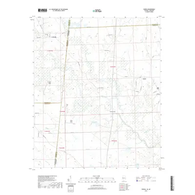
2018 Map of Panola
USGS Topo · Published 2018About this map
The Noxubee River meanders across this borderland landscape where Mississippi meets Alabama, defining the geography of Noxubee, Pickens, and Sumter counties. The river's complex hydrology is evident in features like The Cutt Off and Noxubee Island, surrounded by a network of seasonal wetlands and creeks including Ash Cr and Caney Cr. The settlement pattern is largely rural, anchored by small communities such as Cooksville and Panola.
Find a feature on this map
55 named features on this map. Tap any name to fly to it.
Don’t see what you’re looking for? This feature index may not catch every label — zoom into the map to look around manually.
Map Details
Editions of this 2018 Panola Map
This is the sole edition of this map. No revisions or reprints were ever made.
Other maps of this area

1953 · Meridian
USGS Topo · 1:250,000

1953 · West Point
USGS Topo · 1:250,000

1957 · Meridian
USGS Topo · 1:250,000

1958 · West Point
USGS Topo · 1:250,000

1963 · West Point
USGS Topo · 1:250,000

1965 · Meridian
USGS Topo · 1:250,000

1970 · Gainesville
USGS Topo · 1:24,000

1970 · Aliceville South
USGS Topo · 1:24,000

1970 · Warsaw
USGS Topo · 1:24,000

1973 · Panola
USGS Topo · 1:24,000