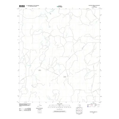
2010 Map of Panther Creek
USGS Topo · Published 2010About this map
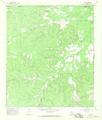
The Llano River winds across the northern edge of this Mason County landscape, characterized by isolated peaks and seasonal watercourses. Elevation is dominated by the Cannon Mountains and Nixon Mountain, while the H L Bluffs overlook the river valley. The area's hydrology is defined by a dendritic network of drainages including Panther Creek, Rocky Creek, and Bader Creek. A noteworthy water source is the Quello Bottom Spring located in the northern portion of the quadrangle.
Find a feature on this map
22 named features on this map. Tap any name to fly to it.
Don’t see what you’re looking for? This feature index may not catch every label — zoom into the map to look around manually.
Map Details
Editions of this 2010 Panther Creek Map
This is the sole edition of this map. No revisions or reprints were ever made.
Other maps of this area

1887 · Mason
USGS Topo · 1:125,000

1894 · Mason
USGS Topo · 1:125,000

1894 · Kerrville
USGS Topo · 1:125,000

1954 · Llano
USGS Topo · 1:250,000

1955 · Llano
USGS Topo · 1:250,000

1956 · Llano
USGS Topo · 1:250,000
1967 · Loyal Valley
USGS Topo · 1:24,000
1967 · Panther Creek
USGS Topo · 1:24,000
1967 · Art
USGS Topo · 1:24,000
1967 · Doss
USGS Topo · 1:24,000