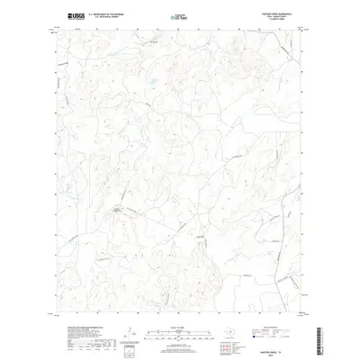
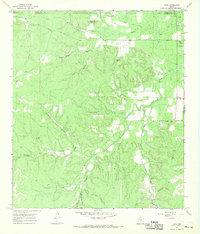
2019 Map of Panther Creek
USGS Topo · Published 2019About this map
The Llano River and its northern bluffs anchor this portion of the Texas Hill Country, where a complex network of seasonal creeks and hidden springs defines the drainage patterns. Key water sources like Anderegg Spring, Eckert Spring, and Quella Bottom Spring are vital landmarks in this arid landscape. The topography is dominated by the Cannon Mountains and Nixon Mtn, with the surrounding territory carved by significant drainage features such as Ed Keller Draw and Windmill Draw. Local transportation follows the contours of the land, with routes like Salt Branch Loop and Cow Valley Creek Rd connecting isolated points. The presence of Coyote Lake and numerous named creeks, including Schep Cr and Rocky Cr, illustrates a terrain where water management and access have historically dictated land use and property boundaries.
Find a feature on this map
36 named features on this map. Tap any name to fly to it.
Don’t see what you’re looking for? This feature index may not catch every label — zoom into the map to look around manually.
Map Details
Editions of this 2019 Panther Creek Map
This is the sole edition of this map. No revisions or reprints were ever made.
Other maps of this area

1887 · Mason
USGS Topo · 1:125,000

1894 · Mason
USGS Topo · 1:125,000

1894 · Kerrville
USGS Topo · 1:125,000

1954 · Llano
USGS Topo · 1:250,000

1955 · Llano
USGS Topo · 1:250,000

1956 · Llano
USGS Topo · 1:250,000
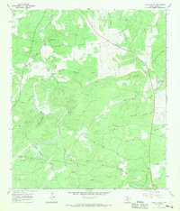
1967 · Loyal Valley
USGS Topo · 1:24,000
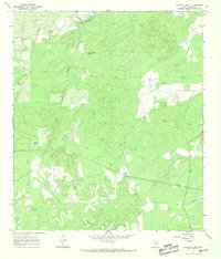
1967 · Panther Creek
USGS Topo · 1:24,000
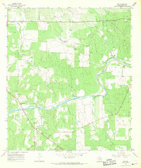
1967 · Art
USGS Topo · 1:24,000
1967 · Doss
USGS Topo · 1:24,000