
1927 Map of Parachute Creek
USGS Topo · Published 1927About this map
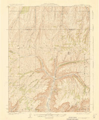
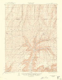
The Naval Oil Shale Reserve dominates this landscape, reflecting a 1920s focus on domestic energy security along the high elevations of the Book Plateau. James Duce, the State Inspector of Oils, is noted in the margin of this 1925 survey, which captures the region during an early era of shale oil experimentation. Industrial outposts like Columbia Shale Camp and Washington Shale Camp are established near the deep incisions of Parachute Creek, providing a rare look at the infrastructure of these remote operations. Away from the camps, the map reveals a rugged ranching and pioneer geography, marked by isolated structures such as Summers Cabin and Crawford Cabins. The local community is anchored by the Granlee School, while a network of primitive routes like the Circle Bar Trail and Eaton Trail provided the only access through the steep gulches and canyons.
Find a feature on this map
46 named features on this map. Tap any name to fly to it.
Don’t see what you’re looking for? This feature index may not catch every label — zoom into the map to look around manually.
Map Details
Editions of this 1927 Parachute Creek Map
3 editions found
Other maps of this area

1906 · Grand Hogback
USGS Topo · 1:125,000

1910 · Grand Hogback
USGS Topo · 1:125,000

1925 · Parachute Creek
USGS Topo · 1:62,500

1929 · Grand Valley
USGS Topo · 1:62,500

1929 · Highmore
USGS Topo · 1:62,500

1929 · Roan Creek
USGS Topo · 1:62,500

1952 · Rio Blanco
USGS Topo · 1:24,000

1952 · Anvil Points
USGS Topo · 1:24,000

1952 · Rock School
USGS Topo · 1:24,000

1952 · Jessup Gulch
USGS Topo · 1:24,000