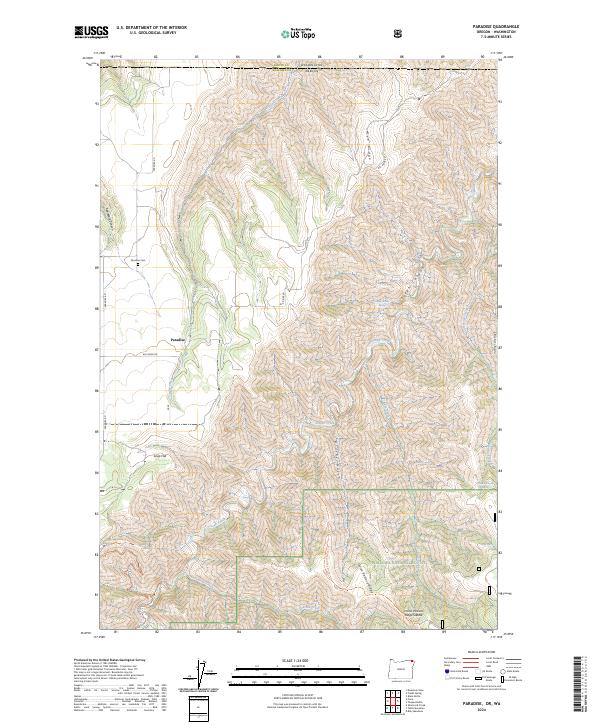
2024 Map of Paradise
USGS Topo · Published 2024About this map
Paradise sits atop a high plateau in the northeastern corner of Oregon, just south of the border between Wallowa Co Oregon and Asotin Co Washington. This isolated settlement is centered along Paradise Rd, where the landscape is defined by the sharp descent into Joseph Canyon and Applegate Canyon. The local geography is a complex network of ridges and drainages, with Joseph Creek winding through the center of the quadrangle, fed by numerous side gulches and seasonal springs like Joseph Warm Spring and Allen Spring.
Find a feature on this map
27 named features on this map. Tap any name to fly to it.
Don’t see what you’re looking for? This feature index may not catch every label — zoom into the map to look around manually.
Map Details
Editions of this 2024 Paradise Map
This is the sole edition of this map. No revisions or reprints were ever made.
Other maps of this area

1943 · Saddle Butte
USGS Topo · 1:62,500

1944 · Anatone
USGS Topo · 1:62,500

1946 · Saddle Butte
USGS Topo · 1:62,500

1946 · Anatone
USGS Topo · 1:62,500

1955 · Pullman
USGS Topo · 1:250,000

1955 · Grangeville
USGS Topo · 1:250,000

1958 · Pullman
USGS Topo · 1:250,000

1959 · Grangeville
USGS Topo · 1:250,000
1967 · Table Mountain
USGS Topo · 1:24,000
1967 · Billy Meadows
USGS Topo · 1:24,000