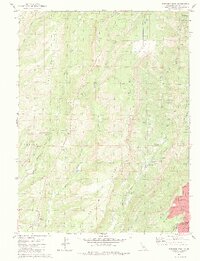
1980 Map of Paradise West
USGS Topo · Published 1984About this map
Butte Creek carves a deep canyon through this landscape, separating the residential growth of Paradise from the rugged volcanic formations of Doe Mill Ridge and Nimshew Ridge. The map documents a critical infrastructure network of canals and flumes, including the Upper Centerville Canal and Lower Centerville Canal, which support power generation at the De Sabla Powerhouse and Centerville Powerplant. These waterworks reflect the region's long history of hydraulic management for mining and energy.
Find a feature on this map
36 named features on this map. Tap any name to fly to it.
Don’t see what you’re looking for? This feature index may not catch every label — zoom into the map to look around manually.
Map Details
Editions of this 1980 Paradise West Map
4 editions found
Other maps of this area

1891 · Chico
USGS Topo · 1:125,000

1893 · Chico
USGS Topo · 1:125,000

1895 · Chico
USGS Topo · 1:125,000

1912 · Durham
USGS Topo · 1:31,680

1912 · Keefers
USGS Topo · 1:31,680

1912 · Clear Creek
USGS Topo · 1:31,680

1942 · Oroville
USGS Topo · 1:62,500
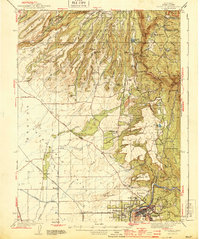
1944 · Oroville
USGS Topo · 1:62,500

1944 · Richardson Springs
USGS Topo · 1:62,500
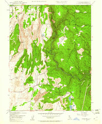
1947 · Cherokee
USGS Topo · 1:24,000