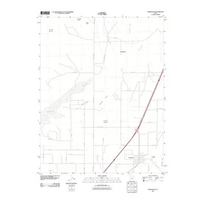
2011 Map of Paragonah
USGS Topo · Published 2011About this map
Parowan Valley dominates this landscape in Iron County, where the settlement of Paragonah sits at the base of the Hurricane Cliff. The town's grid is clearly defined, situated near where Red Creek and Little Creek flow from the higher elevations to the east. To the west, the arid basin features the dry bed of Little Salt Lake and the elevated Slough Bench.
Find a feature on this map
44 named features on this map. Tap any name to fly to it.
Don’t see what you’re looking for? This feature index may not catch every label — zoom into the map to look around manually.
Map Details
Editions of this 2011 Paragonah Map
This is the sole edition of this map. No revisions or reprints were ever made.
Other maps of this area

1885 · Beaver
USGS Topo · 1:250,000

1886 · Kanab
USGS Topo · 1:250,000

1953 · Richfield
USGS Topo · 1:250,000

1953 · Cedar City
USGS Topo · 1:250,000

1958 · Richfield
USGS Topo · 1:250,000

1958 · Cedar City
USGS Topo · 1:250,000

1958 · Minersville
USGS Topo · 1:62,500

1962 · Cedar City
USGS Topo · 1:250,000

1971 · Buckhorn Flat
USGS Topo · 1:24,000

1971 · Paragonah
USGS Topo · 1:24,000