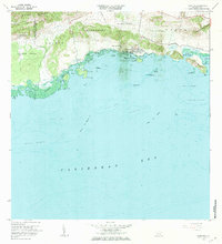
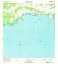
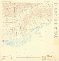
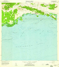
1966 Map of Parguera
USGS Topo · Published 1984About this map
Bahía Fosforescente highlights this coastal survey of southwestern Puerto Rico, documenting the intricate maritime environment of the Municipio de Lajas and Municipio de Cabo Rojo during the mid-1960s. The map illustrates a concentrated area of scientific and academic activity near the settlement of Parguera, featuring the Universidad de Puerto Rico (Instituto Biologia Marina) on Isla Magueyes and a nearby NIH Research Facility.
Find a feature on this map
43 named features on this map. Tap any name to fly to it.
Don’t see what you’re looking for? This feature index may not catch every label — zoom into the map to look around manually.
Map Details
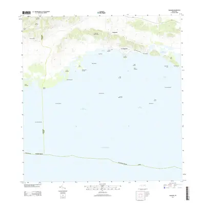
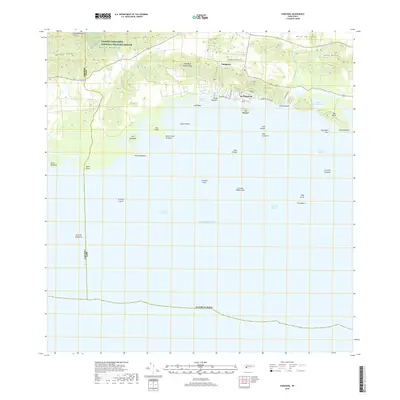
Editions of this 1966 Parguera Map
2 editions found
Historical Maps of Villa Caribe Through Time
11 maps found
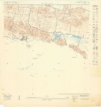
1938 Parguera
Lajas Municipio, PR
1949 Parguera NE
Lajas Municipio, PR
1949 Parguera NO
Lajas Municipio, PR
1949 Sabana Grande SO
Lajas Municipio, PR
1949 San German SE
Lajas Municipio, PR
1949 San German SO
Lajas Municipio, PR
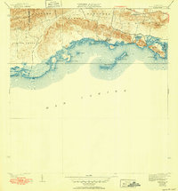
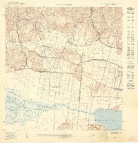
1957 Parguera
Lajas Municipio, PR
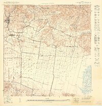
1966 Parguera
Lajas Municipio, PR
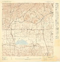
2013 Parguera
Lajas Municipio, PR
2018 Parguera
Lajas Municipio, PR
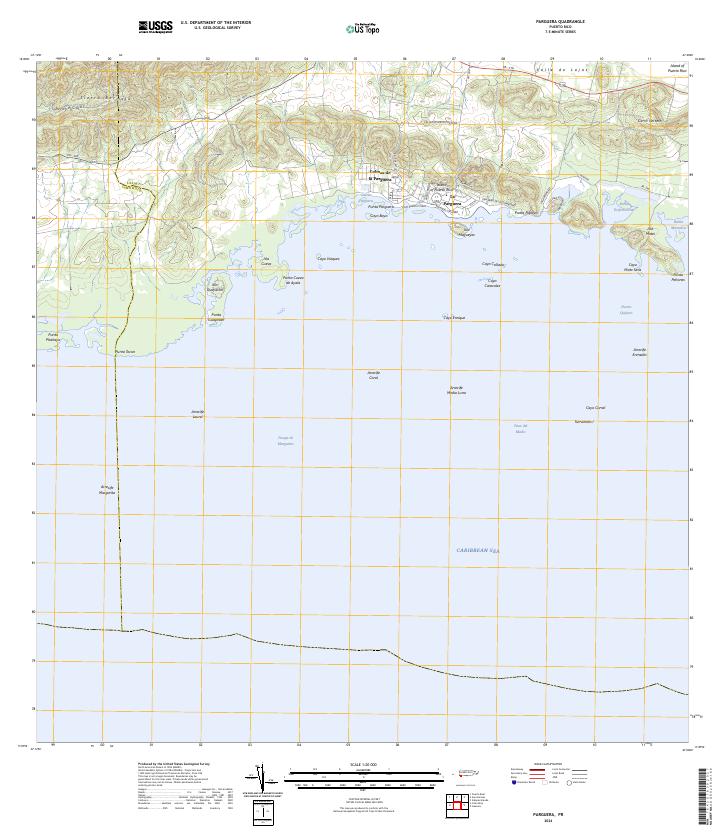
2024 Parguera
Lajas Municipio, PR