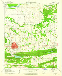
1961 Map of Paris
USGS Topo · Published 1962About this map
Paris serves as the focal point of this Logan County survey, situated between the Arkansas River and the high ridges of the Ozark National Forest. The landscape is defined by its industrial and agricultural roots, with numerous Mine Dump sites scattered near the town center and extensive river flats like Titsworth Bottom and McLean Bottom to the north. Transportation and utility infrastructure are well-documented, from the Missouri Pacific Railroad corridors to the Paris Airport and the local Filtration Plant.
Find a feature on this map
63 named features on this map. Tap any name to fly to it.
Don’t see what you’re looking for? This feature index may not catch every label — zoom into the map to look around manually.
Map Details
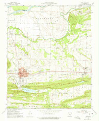
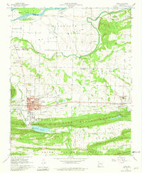
Editions of this 1961 Paris Map
3 editions found
Other maps of this area

1879 · Mountain Home
USGS Topo · 1:62,500

1887 · Magazine Mountain #1
USGS Topo · 1:62,500

1887 · Magazine Mountain #4
USGS Topo · 1:62,500

1887 · Magazine Mountain #2
USGS Topo · 1:62,500

1887 · Magazine Mountain #3
USGS Topo · 1:62,500

1887 · Magazine Mountain
USGS Topo · 1:62,500

1890 · Magazine Mountain
USGS Topo · 1:125,000

1934 · Booneville
USGS Topo · 1:48,000

1939 · Booneville
USGS Topo · 1:62,500

1956 · Russellville
USGS Topo · 1:250,000