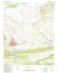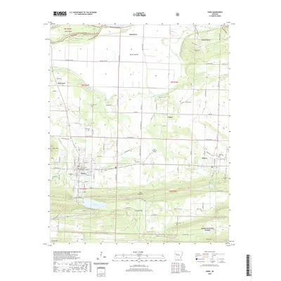
1961 Map of Paris
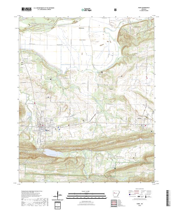
USGS Topo · Published 1981About this map
Paris serves as the focal point of this Logan County landscape, captured just as the local economy balanced between established agriculture and the industrial legacy of mining. The map documents numerous Mine Dump sites scattered near the town center and westward toward Gray Rock, indicating the intensive coal extraction that once defined this portion of the Arkansas River valley. Educational and religious landmarks are densely plotted, from the Booker T Washington Sch to the prominent New Subiaco Academy and Academy near the town center.
Find a feature on this map
67 named features on this map. Tap any name to fly to it.
Don’t see what you’re looking for? This feature index may not catch every label — zoom into the map to look around manually.
Map Details
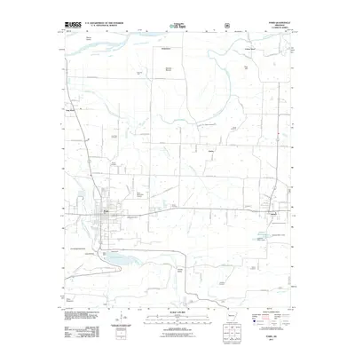
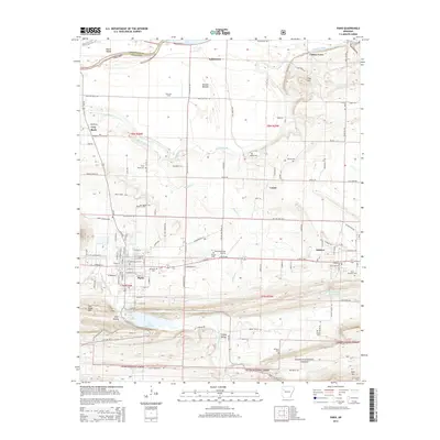
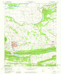
Editions of this 1961 Paris Map
3 editions found

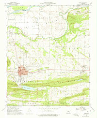
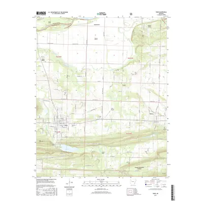
Historical Maps of Paris Through Time
7 maps found