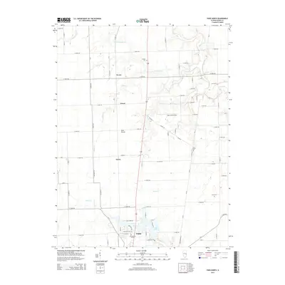
2015 Map of Paris North
USGS Topo · Published 2015About this map
Paris serves as the southern anchor of this central Illinois landscape, where the northern limits of the city meet the rural agricultural plains of Edgar County. The terrain is defined by the dendritic drainage patterns of the S Fork Brouilletts Cr and Snake Cr, which carve through the level prairie. Outside the primary settlement, smaller communities like Horace, Wetzel, and Harris dot the grid of section roads. The map reveals a land long-settled by farming families, evidenced by numerous burial grounds including Franklin Cem, Scott Cem, and Sixteen Cem. Modern infrastructure is represented by the Edgar County Airport and the recreational area around Twin Lakes, while Wolf Mound stands as a notable topographic landmark in the otherwise steady elevation of the Illinois countryside.
Find a feature on this map
75 named features on this map. Tap any name to fly to it.
Don’t see what you’re looking for? This feature index may not catch every label — zoom into the map to look around manually.
Map Details
Editions of this 2015 Paris North Map
This is the sole edition of this map. No revisions or reprints were ever made.
Other maps of this area

1946 · Kansas
USGS Topo · 1:62,500

1947 · Ridge Farm
USGS Topo · 1:62,500

1947 · Paris
USGS Topo · 1:62,500

1949 · Kansas
USGS Topo · 1:62,500

1949 · Paris
USGS Topo · 1:62,500

1950 · Sandford
USGS Topo · 1:24,000

1951 · Saint Bernice
USGS Topo · 1:24,000

1953 · Indianapolis
USGS Topo · 1:250,000

1955 · Scottland
USGS Topo · 1:24,000

1956 · Indianapolis
USGS Topo · 1:250,000