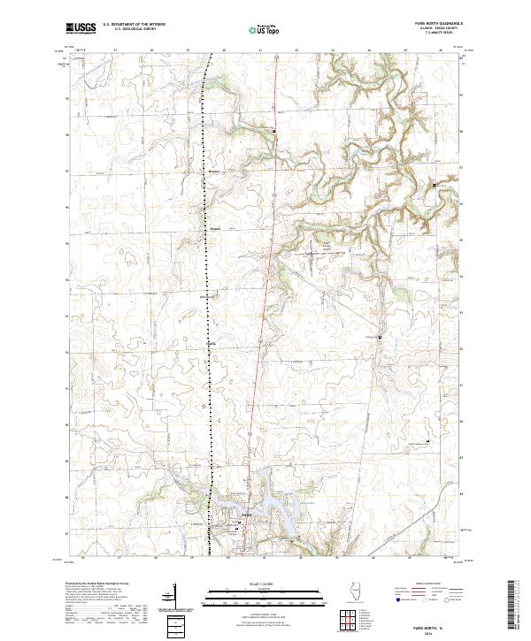
2024 Map of Paris North
USGS Topo · Published 2024About this map
Twin Lakes and the northern edge of Paris anchor this Illinois landscape, where the town’s residential expansion meets the agricultural plains of Edgar County. The terrain is defined by a series of north-flowing waterways including South Fork Brouilletts Creek, Indian Creek, and Snake Creek, which carve subtle valleys into the otherwise steady elevation. A legacy of early rural settlement is visible in the distribution of family and community burial grounds like Franklin Cem, Scott Cem, and Conkey Cem, which remain as fixed points along the section-line road network.
Find a feature on this map
48 named features on this map. Tap any name to fly to it.
Don’t see what you’re looking for? This feature index may not catch every label — zoom into the map to look around manually.
Map Details
Editions of this 2024 Paris North Map
This is the sole edition of this map. No revisions or reprints were ever made.
Other maps of this area

1946 · Kansas
USGS Topo · 1:62,500

1947 · Ridge Farm
USGS Topo · 1:62,500

1947 · Paris
USGS Topo · 1:62,500

1949 · Kansas
USGS Topo · 1:62,500

1949 · Paris
USGS Topo · 1:62,500

1950 · Sandford
USGS Topo · 1:24,000

1951 · Saint Bernice
USGS Topo · 1:24,000

1953 · Indianapolis
USGS Topo · 1:250,000

1955 · Scottland
USGS Topo · 1:24,000

1956 · Indianapolis
USGS Topo · 1:250,000