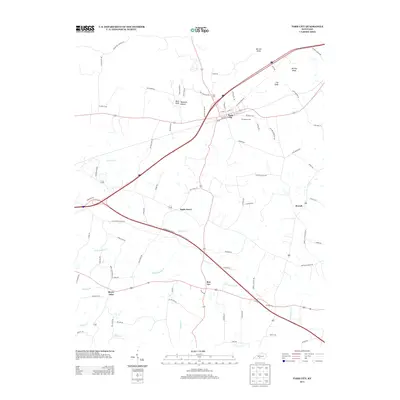
2013 Map of Park City
USGS Topo · Published 2013About this map
Park City serves as the central hub of this Barren County landscape, situated at the intersection of major transit corridors like the Old Dixie Hwy and Old Bardstown Rd. This modern survey illustrates a rural community defined by its rolling topography and unique subterranean drainage patterns, evidenced by the numerous creek branches and topographic depressions common to the area. Small outlying settlements like Bon Ayr, Merry Oaks, and Apple Grove punctuate the agricultural land, while features such as Evergreen Cem and Zion Cem provide fixed points for genealogical research.
Find a feature on this map
82 named features on this map. Tap any name to fly to it.
Don’t see what you’re looking for? This feature index may not catch every label — zoom into the map to look around manually.
Map Details
Editions of this 2013 Park City Map
This is the sole edition of this map. No revisions or reprints were ever made.
Other maps of this area

1922 · Mammoth Cave
USGS Topo · 1:62,500

1923 · Mammoth Cave
USGS Topo · 1:62,500

1926 · Scottsville
USGS Topo · 1:62,500

1935 · Horse Cave
USGS Topo · 1:48,000

1938 · Horse Cave
USGS Topo · 1:62,500

1953 · Glasgow South
USGS Topo · 1:24,000

1954 · Evansville
USGS Topo · 1:250,000

1954 · Horse Cave
USGS Topo · 1:24,000
1954 · Rhoda
USGS Topo · 1:24,000
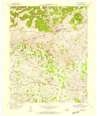
1954 · Park City
USGS Topo · 1:24,000