
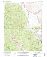
1955 Map of Park City West
USGS Topo · Published 1957About this map
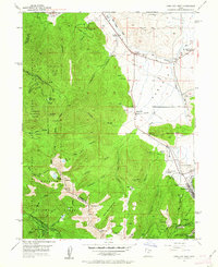
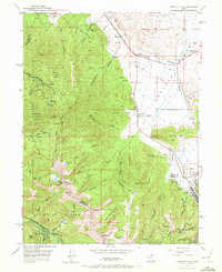
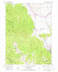
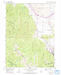
Park City sits at the eastern edge of this mid-1950s survey, surrounded by the intense mining operations of the Wasatch Range. The landscape is a study in the transition from agricultural valley floors to industrial mountain peaks, with numerous shafts and tunnels such as the Silver King Mine, Creole Tunnel, and Western Monitor Shaft dotting the slopes. In the lower elevations, small settlements like Snyderville and Kimball appear alongside ranching operations including the Hi Ute Ranch and Snow Summit Ranch. The map also preserves the site of the Old Stage Sta, marking the historical transit routes that predated the heavy mining era. To the west, the protected lands of the Wasatch National Forest rise toward Murdock Peak, where terrain remains dominated by deep drainages like Lambs Canyon and Toll Canyon.
Find a feature on this map
77 named features on this map. Tap any name to fly to it.
Don’t see what you’re looking for? This feature index may not catch every label — zoom into the map to look around manually.
Map Details
Editions of this 1955 Park City West Map
6 editions found
Other maps of this area

1885 · Salt Lake
USGS Topo · 1:250,000

1900 · Coalville
USGS Topo · 1:125,000

1903 · Coalville
USGS Topo · 1:125,000

1925 · Ft. Douglas
USGS Topo · 1:125,000

1928 · Ft. Douglas
USGS Topo · 1:125,000

1954 · Salt Lake City
USGS Topo · 1:250,000

1955 · Heber
USGS Topo · 1:24,000

1955 · Park City East
USGS Topo · 1:24,000

1955 · Brighton
USGS Topo · 1:24,000

1955 · Mount Aire
USGS Topo · 1:24,000