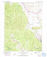
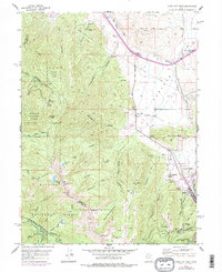
1955 Map of Park City West
USGS Topo · Published 1984About this map
Park City sits at the edge of this mid-century topographic survey, where the industrial mining legacy of the Wasatch Range meets the evolving landscape of Summit County. The map documents an intensive period of subsurface exploration and extraction, evidenced by the cluster of subterranean infrastructure around Treasure Hill. Features such as the Creole Tunnel, Alliance Tunnel, and Judge Tunnel speak to the complex engineering required to navigate these silver-rich mountains. To the north, the transition from industrial mining to ranching and early transportation hubs is visible through Snyderville and the emerging crossroads at Kimball Junction. The landscape is etched with historical landmarks like the Ski Jump near Ecker Hill and several burial grounds, including the Glenwood Cemetery and Quarry Cem. The rugged terrain of the Wasatch National Forest is defined by steep canyons such as Lambs Canyon and Big Cottonwood Canyon, showing the area's dual identity as a center for both hard-rock mining and high-altitude recreation.
Find a feature on this map
68 named features on this map. Tap any name to fly to it.
Don’t see what you’re looking for? This feature index may not catch every label — zoom into the map to look around manually.
Map Details
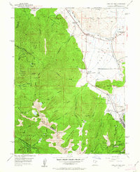
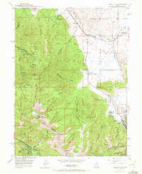
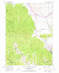
Editions of this 1955 Park City West Map
6 editions found

Other maps of this area

1885 · Salt Lake
USGS Topo · 1:250,000

1900 · Coalville
USGS Topo · 1:125,000

1903 · Coalville
USGS Topo · 1:125,000

1925 · Ft. Douglas
USGS Topo · 1:125,000

1928 · Ft. Douglas
USGS Topo · 1:125,000

1954 · Salt Lake City
USGS Topo · 1:250,000

1955 · Heber
USGS Topo · 1:24,000

1955 · Park City East
USGS Topo · 1:24,000

1955 · Brighton
USGS Topo · 1:24,000

1955 · Mount Aire
USGS Topo · 1:24,000