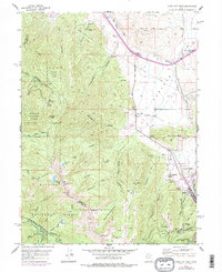
1955 Map of Park City West
USGS Topo · Published 1984About this map
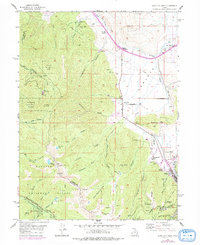
The silver-mining legacy of the Wasatch Mountains is preserved here in high detail, centered on the high ridges surrounding Park City. This 1955 survey, with mid-1970s updates, captures the industrial transition from hard-rock mining to alpine recreation. To the south, heavy industrial features like the Silver King Mine, the Western Monitor Shaft, and a series of deep drainage and haulage passages including the Creole Tunnel and Judge Tunnel underscore the intensive subterranean activity that once drove the local economy.
Find a feature on this map
72 named features on this map. Tap any name to fly to it.
Don’t see what you’re looking for? This feature index may not catch every label — zoom into the map to look around manually.
Map Details
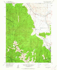
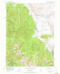
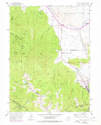
Editions of this 1955 Park City West Map
6 editions found

Other maps of this area

1885 · Salt Lake
USGS Topo · 1:250,000

1900 · Coalville
USGS Topo · 1:125,000

1903 · Coalville
USGS Topo · 1:125,000

1925 · Ft. Douglas
USGS Topo · 1:125,000

1928 · Ft. Douglas
USGS Topo · 1:125,000

1954 · Salt Lake City
USGS Topo · 1:250,000

1955 · Heber
USGS Topo · 1:24,000

1955 · Park City East
USGS Topo · 1:24,000

1955 · Brighton
USGS Topo · 1:24,000

1955 · Mount Aire
USGS Topo · 1:24,000