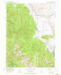
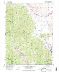
1955 Map of Park City West
USGS Topo · Published 1972About this map
Park City serves as the focal point of this mid-century topographic study, capturing the area during its transition from a historic mining center to a burgeoning winter recreation destination. Significant industrial sites like the Silver King Mine, Silver King Consolidated, and various tunnels including the Cradle Tunnel and Judge Tunnel reflect the deep-rooted mining heritage that shaped the local landscape. The terrain around Treasure Hill and Crescent Ridge is meticulously detailed, showing the complex network of shafts and gulches that defined the local silver and lead economy for decades.
Find a feature on this map
55 named features on this map. Tap any name to fly to it.
Don’t see what you’re looking for? This feature index may not catch every label — zoom into the map to look around manually.
Map Details
Editions of this 1955 Park City West Map
6 editions found

Other maps of this area

1885 · Salt Lake
USGS Topo · 1:250,000

1900 · Coalville
USGS Topo · 1:125,000

1903 · Coalville
USGS Topo · 1:125,000

1925 · Ft. Douglas
USGS Topo · 1:125,000

1928 · Ft. Douglas
USGS Topo · 1:125,000

1954 · Salt Lake City
USGS Topo · 1:250,000

1955 · Heber
USGS Topo · 1:24,000

1955 · Park City East
USGS Topo · 1:24,000

1955 · Brighton
USGS Topo · 1:24,000

1955 · Mount Aire
USGS Topo · 1:24,000