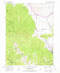
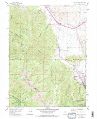
1955 Map of Park City West
USGS Topo · Published 1979About this map
Park City sits at the base of a high-altitude mining and ranching landscape, where the extraction economy of the Wasatch Range meets the pastoral valleys of Summit County. The map documents a dense network of industrial subterranean infrastructure, including the Spiro Tunnel, Alliance Tunnel, and the sprawling workings of the Silver King Mine near Treasure Hill. These mining operations contrast with the early development of recreational and agricultural sites like the Ski Jump at Ecker Hill and the Hi Ute Ranch. To the north, the transition from mining town to regional hub is visible at Kimball Junction and Snyderville, where the Snyderville Cem marks the early settlement of the Snyderville Basin. The terrain is defined by steep drainages such as Thaynes Canyon and Iron Canyon, which historically provided both the timber for mine shoring and the water sources that fed the growing community.
Find a feature on this map
75 named features on this map. Tap any name to fly to it.
Don’t see what you’re looking for? This feature index may not catch every label — zoom into the map to look around manually.
Map Details
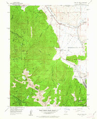
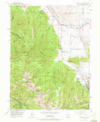
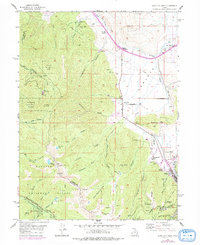
Editions of this 1955 Park City West Map
6 editions found

Other maps of this area

1885 · Salt Lake
USGS Topo · 1:250,000

1900 · Coalville
USGS Topo · 1:125,000

1903 · Coalville
USGS Topo · 1:125,000

1925 · Ft. Douglas
USGS Topo · 1:125,000

1928 · Ft. Douglas
USGS Topo · 1:125,000

1954 · Salt Lake City
USGS Topo · 1:250,000

1955 · Heber
USGS Topo · 1:24,000

1955 · Park City East
USGS Topo · 1:24,000

1955 · Brighton
USGS Topo · 1:24,000

1955 · Mount Aire
USGS Topo · 1:24,000