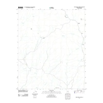
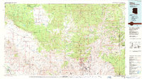
2011 Map of Park Creek Cabins
USGS Topo · Published 2011About this map
Park Creek Cabins sits at the junction of remote routes in Graham County, where the high desert terrain meets the drainages of the Black River Rd. This landscape is defined by the strategic collection of water in an arid environment, evidenced by the numerous tanks and springs distributed across the mesas and canyons. Cattle ranching heritage is visible through several named corrals, including the Red Box Corral and Rabbit Trap Corral, which provide context for the seasonal movement of livestock through the region.
Find a feature on this map
26 named features on this map. Tap any name to fly to it.
Don’t see what you’re looking for? This feature index may not catch every label — zoom into the map to look around manually.
Map Details
Editions of this 2011 Park Creek Cabins Map
This is the sole edition of this map. No revisions or reprints were ever made.
Other maps of this area

1954 · Clifton
USGS Topo · 1:250,000

1957 · Clifton
USGS Topo · 1:250,000

1958 · Clifton
USGS Topo · 1:250,000

1960 · Fort Thomas
USGS Topo · 1:62,500

1962 · Clifton
USGS Topo · 1:250,000

1962 · Bryce Mountain
USGS Topo · 1:62,500
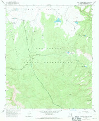
1967 · Point of Pines East
USGS Topo · 1:24,000
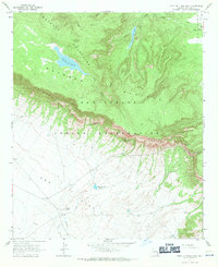
1967 · Point of Pines West
USGS Topo · 1:24,000
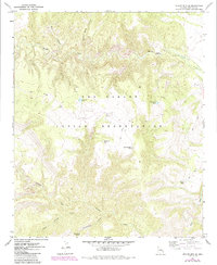
1967 · Willow Mtn. SE
USGS Topo · 1:24,000
1986 · Clifton
USGS Topo · 1:100,000