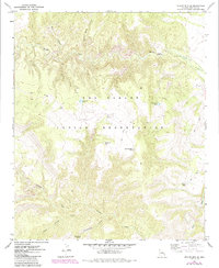
1967 Map of Willow Mtn. SE
USGS Topo · Published 1971About this map
San Carlos Indian Reservation land dominates this high-altitude landscape in Graham County, where the terrain is carved by complex drainages and remote canyons. The upper reaches of Eagle Creek and the winding Cienega Creek network serve as the primary hydrologic features, supported by isolated water sources like Cottonwood Spring and Fourmile Tank. Evidence of range management and historical land use is visible through the presence of a Corral and several strategically placed stock tanks such as Night Trap Tank and Burro Tank.
Find a feature on this map
18 named features on this map. Tap any name to fly to it.
Don’t see what you’re looking for? This feature index may not catch every label — zoom into the map to look around manually.
Map Details
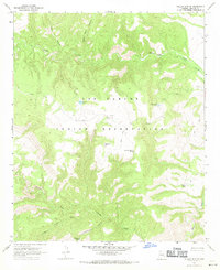
Editions of this 1967 Willow Mtn. SE Map
2 editions found
Other maps of this area

1902 · Clifton
USGS Topo · 1:62,500

1913 · Morenci
USGS Topo · 1:125,000

1915 · Morenci
USGS Topo · 1:125,000

1954 · Clifton
USGS Topo · 1:250,000

1957 · Clifton
USGS Topo · 1:250,000

1958 · Clifton
USGS Topo · 1:250,000

1962 · Clifton
USGS Topo · 1:250,000

1962 · Clifton
USGS Topo · 1:62,500

1962 · Bryce Mountain
USGS Topo · 1:62,500

1967 · Robinson Mesa
USGS Topo · 1:24,000