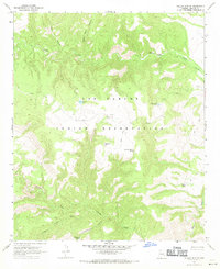
1967 Map of Willow Mtn SE
USGS Topo · Published 1985About this map
The San Carlos Indian Reservation occupies much of this high-elevation Arizona landscape, characterized by complex drainage systems and isolated water sources. This 1960s survey records a network of cattle-related infrastructure, including several named tanks such as Fourmile Tank, Dry Trap Tank, and Night Trap Tank which were essential for managing livestock in the arid terrain. The map's detail extends to local water management and monitoring, indicated by a Gaging Station on Willow Creek and the presence of Cottonwood Spring near the southern boundary.
Find a feature on this map
17 named features on this map. Tap any name to fly to it.
Don’t see what you’re looking for? This feature index may not catch every label — zoom into the map to look around manually.
Map Details
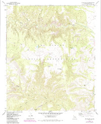
Editions of this 1967 Willow Mtn SE Map
2 editions found
Other maps of this area

1902 · Clifton
USGS Topo · 1:62,500

1913 · Morenci
USGS Topo · 1:125,000

1915 · Morenci
USGS Topo · 1:125,000

1954 · Clifton
USGS Topo · 1:250,000

1957 · Clifton
USGS Topo · 1:250,000

1958 · Clifton
USGS Topo · 1:250,000

1962 · Clifton
USGS Topo · 1:250,000

1962 · Clifton
USGS Topo · 1:62,500

1962 · Bryce Mountain
USGS Topo · 1:62,500

1967 · Robinson Mesa
USGS Topo · 1:24,000