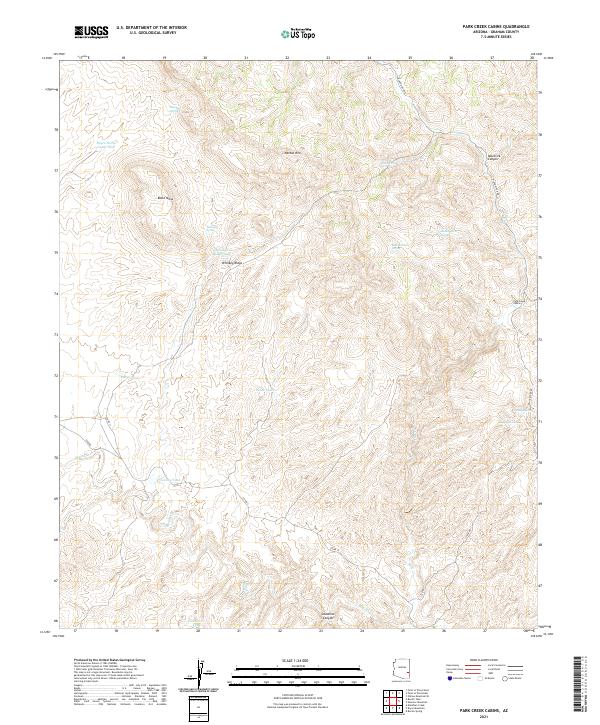
2021 Map of Park Creek Cabins
USGS Topo · Published 2021About this map
Park Creek Cabins sits in a high-elevation landscape defined by significant geologic structures like the Nantac Rim and the massive Black Mesa. This area of Graham County reflects a ranching and remote-access character, with the terrain heavily marked by canyons such as Maverick Canyon and Deadman Canyon. The distribution of water resources is critical here, shown through a series of named tanks and springs, including Bryce Horse Camp Tank, Keays Tank, and Oak Grove Tank.
Find a feature on this map
27 named features on this map. Tap any name to fly to it.
Don’t see what you’re looking for? This feature index may not catch every label — zoom into the map to look around manually.
Map Details
Editions of this 2021 Park Creek Cabins Map
This is the sole edition of this map. No revisions or reprints were ever made.
Other maps of this area

1954 · Clifton
USGS Topo · 1:250,000

1957 · Clifton
USGS Topo · 1:250,000

1958 · Clifton
USGS Topo · 1:250,000

1960 · Fort Thomas
USGS Topo · 1:62,500

1962 · Clifton
USGS Topo · 1:250,000

1962 · Bryce Mountain
USGS Topo · 1:62,500
1967 · Point of Pines East
USGS Topo · 1:24,000
1967 · Point of Pines West
USGS Topo · 1:24,000
1967 · Willow Mtn. SE
USGS Topo · 1:24,000
1986 · Clifton
USGS Topo · 1:100,000