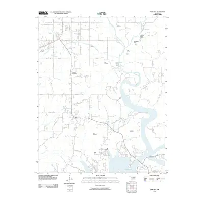
2010 Map of Park Hill
USGS Topo · Published 2010About this map
Tenkiller Lake dominates the southern landscape of this Oklahoma survey, where the winding Illinois River cuts through a series of named ridges and hollows. The area around Park Hill Mountain is marked by a deep historical footprint, evidenced by the clustered locations of Park Hill Cemetery, Worster Cemetery, and Ross Cemetery. These sites, along with family-named features like Ross Hollow and Manes Hollow, provide significant anchor points for genealogical research in Cherokee County.
Find a feature on this map
63 named features on this map. Tap any name to fly to it.
Don’t see what you’re looking for? This feature index may not catch every label — zoom into the map to look around manually.
Map Details
Editions of this 2010 Park Hill Map
This is the sole edition of this map. No revisions or reprints were ever made.
Other maps of this area
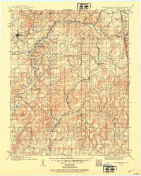
1898 · Tahlequah
USGS Topo · 1:125,000
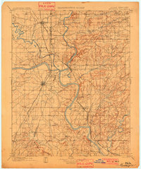
1901 · Muscogee
USGS Topo · 1:125,000
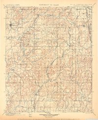
1901 · Tahlequah
USGS Topo · 1:125,000
1905 · Muscogee
USGS Topo · 1:125,000
1905 · Tahlequah
USGS Topo · 1:125,000

1946 · Fort Smith
USGS Topo · 1:250,000
1948 · Hulbert
USGS Topo · 1:62,500
1948 · Webbers Falls
USGS Topo · 1:62,500
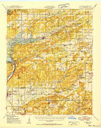
1950 · Hulbert
USGS Topo · 1:62,500
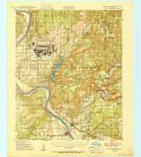
1950 · Webbers Falls
USGS Topo · 1:62,500