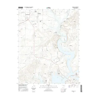
2016 Map of Park Hill
USGS Topo · Published 2016About this map
The historical Cherokee Nation capital region south of Tahlequah is depicted here, dominated by the waters of Tenkiller Ferry Lake and the significant cultural sites of Park Hill. This area is dense with genealogical markers, including the Park Hill Mission Cem and Ross Cem, which anchor the local history of prominent families. The landscape transitions from the residential developments of Indian Meadows and the cultural heritage at Tsa La Gi Indian Village to the dramatic bluffs along the Illinois River valley.
Find a feature on this map
63 named features on this map. Tap any name to fly to it.
Don’t see what you’re looking for? This feature index may not catch every label — zoom into the map to look around manually.
Map Details
Editions of this 2016 Park Hill Map
This is the sole edition of this map. No revisions or reprints were ever made.
Other maps of this area

1898 · Tahlequah
USGS Topo · 1:125,000

1901 · Muscogee
USGS Topo · 1:125,000

1901 · Tahlequah
USGS Topo · 1:125,000

1905 · Muscogee
USGS Topo · 1:125,000

1905 · Tahlequah
USGS Topo · 1:125,000

1946 · Fort Smith
USGS Topo · 1:250,000

1948 · Hulbert
USGS Topo · 1:62,500

1948 · Webbers Falls
USGS Topo · 1:62,500

1950 · Hulbert
USGS Topo · 1:62,500

1950 · Webbers Falls
USGS Topo · 1:62,500