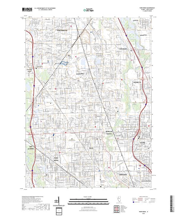
2024 Map of Park Ridge
USGS Topo · Published 2024About this map
Cook County is defined here by its dense suburban development and the natural corridors created by the North Branch Chicago River and the Skokie River. The map captures a landscape of intense transit and community infrastructure, where major arteries like Milwaukee Ave, Waukegan Rd, and Dempster St bind together the established communities of Glenview, Niles, and Skokie. A striking concentration of large memorial parks and cemeteries, including the sprawling Maryhill Catholic Cem and Mausoleum and Saint Adalbert Catholic Cem and Mausoleums, serves as a permanent architectural presence amidst the residential expansion. Educational and medical institutions, such as the Hebrew Theological College and Glenbrook Hospital, anchor the neighborhoods, while the Des Plaines River flows along the western edge, providing a contrast of riparian forest and small lakes like Beck Lake against the grid of Chicago's northern suburbs.
Find a feature on this map
68 named features on this map. Tap any name to fly to it.
Don’t see what you’re looking for? This feature index may not catch every label — zoom into the map to look around manually.
Map Details
Editions of this 2024 Park Ridge Map
This is the sole edition of this map. No revisions or reprints were ever made.
Other maps of this area

1889 · Chicago
USGS Topo · 1:62,500

1891 · Chicago
USGS Topo · 1:62,500

1891 · Riverside
USGS Topo · 1:62,500

1893 · Riverside
USGS Topo · 1:62,500

1899 · Evanston
USGS Topo · 1:62,500

1900 · Chicago
USGS Topo · 1:62,500

1900 · Riverside
USGS Topo · 1:62,500

1900 · Highwood
USGS Topo · 1:62,500

1901 · Riverside
USGS Topo · 1:62,500

1901 · Chicago
USGS Topo · 1:62,500