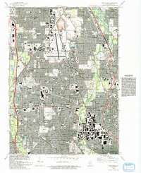
1993 Map of Park Ridge
USGS Topo · Published 1993About this map
The Glenview Naval Air Station occupies a central portion of this landscape, reflecting the military and aviation footprint in the northern Chicago suburbs during the early 1990s. Surrounding this facility is a dense suburban network of residential developments and institutional landmarks, including the Leaning Tower in Niles and Loyola Academy in Wilmette. The area is notably defined by its religious and commemorative spaces, such as the expansive Maryhill Cemetery, St Adalbert Cem, and the grounds of the Holy Spirit Missionary Sisters.
Find a feature on this map
127 named features on this map. Tap any name to fly to it.
Don’t see what you’re looking for? This feature index may not catch every label — zoom into the map to look around manually.
Map Details
Editions of this 1993 Park Ridge Map
This is the sole edition of this map. No revisions or reprints were ever made.
Other maps of this area

1889 · Chicago
USGS Topo · 1:62,500

1891 · Chicago
USGS Topo · 1:62,500

1891 · Riverside
USGS Topo · 1:62,500

1893 · Riverside
USGS Topo · 1:62,500
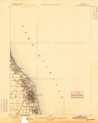
1899 · Evanston
USGS Topo · 1:62,500

1900 · Chicago
USGS Topo · 1:62,500

1900 · Riverside
USGS Topo · 1:62,500
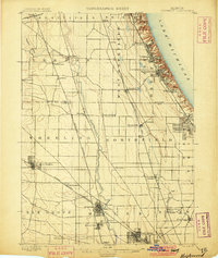
1900 · Highwood
USGS Topo · 1:62,500
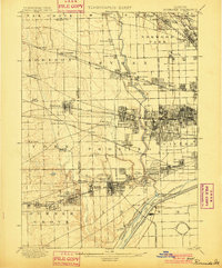
1901 · Riverside
USGS Topo · 1:62,500
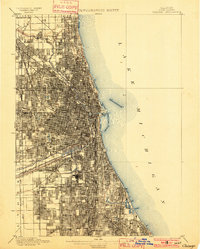
1901 · Chicago
USGS Topo · 1:62,500