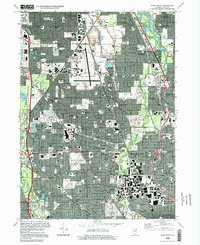
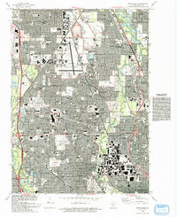
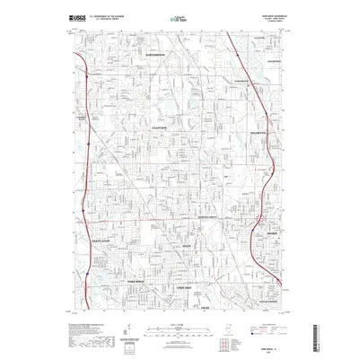
1995 Map of Park Ridge
USGS Topo · Published 1999About this map
The Naval Air Station occupies a significant portion of Glenview in this late-twentieth-century study of the northern Chicago suburbs. This era shows a landscape where dense residential neighborhoods in Morton Grove, Niles, and Park Ridge are bounded by the extensive greenery of the Cook County Forest Preserve. The map documents a high concentration of institutional landmarks, from the Hebrew Theological College to several parochial and public secondary schools like Maine East High Sch and Marillac High Sch.
Find a feature on this map
106 named features on this map. Tap any name to fly to it.
Don’t see what you’re looking for? This feature index may not catch every label — zoom into the map to look around manually.
Map Details
Editions of this 1995 Park Ridge Map
This is the sole edition of this map. No revisions or reprints were ever made.
Historical Maps of Chicago Through Time
10 maps found
1929 Park Ridge
Cook County, IL
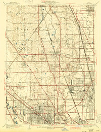
1953 Park Ridge
Cook County, IL
1963 Park Ridge
Cook County, IL
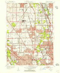
1993 Park Ridge
Cook County, IL
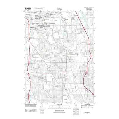
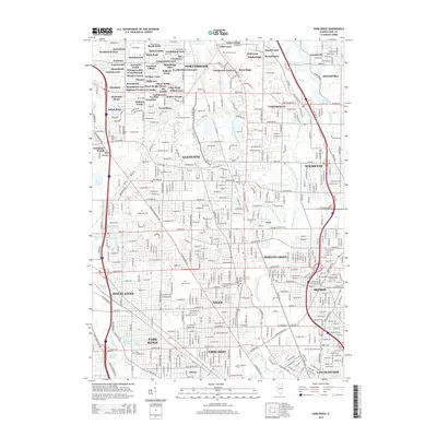
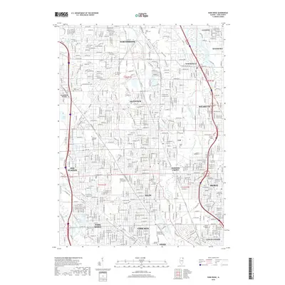
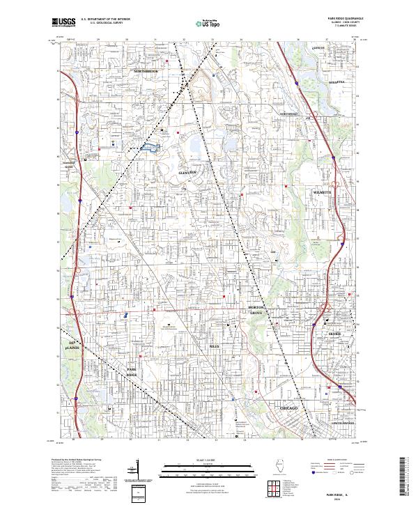
1995 Park Ridge
Cook County, IL
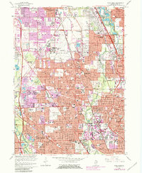
2012 Park Ridge
Cook County, IL
2015 Park Ridge
Cook County, IL
2018 Park Ridge
Cook County, IL
2021 Park Ridge
Cook County, IL
2024 Park Ridge
Cook County, IL
Featured Locations
- Chicago, IL
- Des Plaines, IL
- Park Ridge, Maine Township
- Skokie, Niles Township
- Glenview, Northfield Township